Area Overview for LS27 9TA
Photos of LS27 9TA
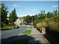
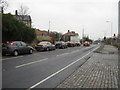
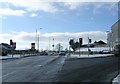
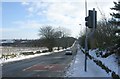

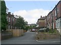
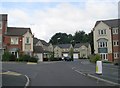
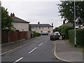
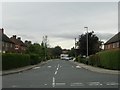
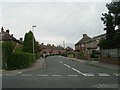
100 photos from this area
Area Information
Key information about the LS27 9TA including its size, population, and administrative classification.
- Area Type
- Postcode
- Area Size
- 3.9 hectares
- Population
- 1599
- Population Density
- 5534 people/km²
House Prices in LS27 9TA
60
Properties
£218,491
Average Sold Price
£86,500
Lowest Price
£540,000
Highest Price
Showing 60 properties
| Address | Type | Beds | Baths | Last Sale Price | Last Sale Date | |
|---|---|---|---|---|---|---|
| 147 Springfield Road, Morley, LS27 9TA | Detached | 4 | 3 | £460,000 | Oct 2025 | |
| 93 Springfield Road, Morley, LS27 9TA | Detached | 4 | 3 | £457,000 | Aug 2025 | |
| 109 Springfield Road, Morley, LS27 9TA | Detached | 4 | 3 | £445,000 | Mar 2025 | |
| 111 Springfield Road, Morley, LS27 9TA | Detached | 4 | 2 | £425,000 | Dec 2024 | |
| 104 Springfield Road, Morley, LS27 9TA | Detached | 4 | 2 | £410,000 | Jun 2024 | |
| 95 Springfield Road, Morley, LS27 9TA | Detached | 4 | 4 | £540,000 | Jan 2024 | |
| 139 Springfield Road, Morley, LS27 9TA | house | - | - | £445,000 | Dec 2022 | |
| 94 Springfield Road, Morley, LS27 9TA | house | - | - | £430,000 | Oct 2022 | |
| 116 Springfield Road, Morley, LS27 9TA | Detached | 3 | 1 | £285,000 | Sep 2021 | |
| 92 Springfield Road, Morley, LS27 9TA | house | - | - | £310,000 | Nov 2019 |
Page 1 of 6
Energy Efficiency in LS27 9TA
Amenities
Schools
| Rank | School | Type | Entry gender | Ages |
|---|
Explore more schools in this area
Go to Schools tabDemographics
Household Size
Family (3-5 people)
most common
Accommodation Type
Houses
most common
Tenure
84
majority
Ethnic Group
White
most common
Religion
N/A
most common
Household Composition
N/A
most common
Age
47
median
Adults (30-64 years)
most common
Household Deprivation
N/A
with no deprivation
NS-SEC
44
in Lower managerial occupations
Explore more demographic insights in this area
Go to Demographics tabPlanning
Planning Constraints
- Flood RiskPremium
- Ramsar Wetland SitesPremium
- Area of Outstanding Natural BeautyPremium
- Protected Nature ReservePremium
- Protected WoodlandPremium