Area Overview for LS26 9EG
Photos of LS26 9EG
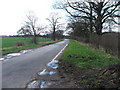
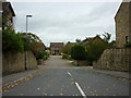
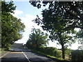
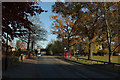
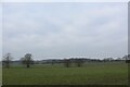
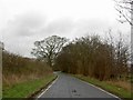
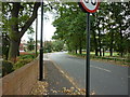
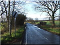
34 photos from this area
Area Information
Key information about the LS26 9EG including its size, population, and administrative classification.
- Area Type
- Postcode
- Area Size
- 1.9 hectares
- Population
- 2202
- Population Density
- 1232 people/km²
House Prices in LS26 9EG
16
Properties
£221,071
Average Sold Price
£147,500
Lowest Price
£310,000
Highest Price
Showing 16 properties
| Address | Type | Beds | Baths | Last Sale Price | Last Sale Date | |
|---|---|---|---|---|---|---|
| 100 Church Lane, Methley, Leeds, LS26 9EG | Semi-detached | 3 | 1 | £265,000 | Aug 2023 | |
| 82 Church Lane, Methley, Leeds, LS26 9EG | house | - | - | £245,000 | Mar 2022 | |
| 88 Church Lane, Methley, Leeds, LS26 9EG | house | - | - | £215,000 | Nov 2020 | |
| 102 Church Lane, Methley, Leeds, LS26 9EG | Semi-detached | - | - | £185,000 | Nov 2020 | |
| 110A Church Lane, Methley, Leeds, LS26 9EG | house | - | - | £310,000 | Feb 2017 | |
| 92 Church Lane, Methley, Leeds, LS26 9EG | house | 3 | - | £147,500 | Aug 2011 | |
| 84 Church Lane, Methley, Leeds, LS26 9EG | Semi-detached | - | - | £180,000 | Dec 2007 | |
| 90 Church Lane, Methley, Leeds, LS26 9EG | Semi-detached | 3 | 2 | - | - | |
| 94 Church Lane, Methley, Leeds, LS26 9EG | Semi-detached | - | - | - | - | |
| 104 Church Lane, Methley, Leeds, LS26 9EG | Semi-detached | - | - | - | - |
Page 1 of 2
Energy Efficiency in LS26 9EG
Amenities
Schools
| Rank | School | Type | Entry gender | Ages |
|---|
Explore more schools in this area
Go to Schools tabDemographics
Household Size
Family (3-5 people)
most common
Accommodation Type
Houses
most common
Tenure
80
majority
Ethnic Group
White
most common
Religion
N/A
most common
Household Composition
N/A
most common
Age
47
median
Adults (30-64 years)
most common
Household Deprivation
N/A
with no deprivation
NS-SEC
44
in Lower managerial occupations
Explore more demographic insights in this area
Go to Demographics tabPlanning
Planning Constraints
- Flood RiskPremium
- Ramsar Wetland SitesPremium
- Area of Outstanding Natural BeautyPremium
- Protected Nature ReservePremium
- Protected WoodlandPremium