Area Overview for LS26 9AF
Photos of LS26 9AF
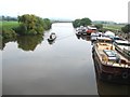
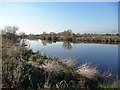
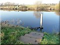
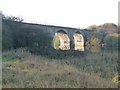
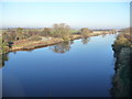
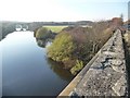
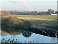
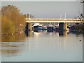
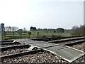
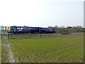
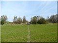
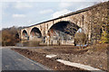
73 photos from this area
Area Information
Key information about the LS26 9AF including its size, population, and administrative classification.
- Area Type
- Postcode
- Area Size
- 33.1 hectares
- Population
- 1198
- Population Density
- 279 people/km²
House Prices in LS26 9AF
30
Properties
£149,534
Average Sold Price
£37,000
Lowest Price
£462,500
Highest Price
Showing 30 properties
| Address | Type | Beds | Baths | Last Sale Price | Last Sale Date | |
|---|---|---|---|---|---|---|
| 67 Low Common, Methley, Leeds, LS26 9AF | Detached | 2 | 1 | £243,000 | Sep 2024 | |
| 46 Low Common, Methley, Leeds, LS26 9AF | house | 2 | 1 | £178,000 | Aug 2023 | |
| 34 Low Common, Methley, Leeds, LS26 9AF | Terraced | 1 | 1 | £170,000 | Jun 2023 | |
| 3 Low Common, Methley, Leeds, LS26 9AF | Terraced | 1 | 1 | £160,000 | Feb 2023 | |
| 1 Low Common, Methley, Leeds, LS26 9AF | Terraced | 2 | 1 | £155,000 | Sep 2021 | |
| 63 Low Common, Methley, Leeds, LS26 9AF | Detached | 2 | 1 | £144,000 | Feb 2019 | |
| 65 Low Common, Methley, Leeds, LS26 9AF | Semi-detached | 2 | 1 | £185,000 | Dec 2018 | |
| 28 Low Common, Methley, Leeds, LS26 9AF | Cottage | 2 | 1 | £131,000 | Sep 2018 | |
| 40 Low Common, Methley, Leeds, LS26 9AF | house | - | - | £79,500 | Apr 2017 | |
| 36 Low Common, Methley, Leeds, LS26 9AF | Terraced | 2 | 1 | £114,250 | Nov 2016 |
Page 1 of 3
Energy Efficiency in LS26 9AF
Amenities
Schools
| Rank | School | Type | Entry gender | Ages |
|---|
Explore more schools in this area
Go to Schools tabDemographics
Household Size
Family (3-5 people)
most common
Accommodation Type
Houses
most common
Tenure
75
majority
Ethnic Group
White
most common
Religion
N/A
most common
Household Composition
N/A
most common
Age
47
median
Adults (30-64 years)
most common
Household Deprivation
N/A
with no deprivation
NS-SEC
38
in Lower managerial occupations
Explore more demographic insights in this area
Go to Demographics tabPlanning
Planning Constraints
- Flood RiskPremium
- Ramsar Wetland SitesPremium
- Area of Outstanding Natural BeautyPremium
- Protected Nature ReservePremium
- Protected WoodlandPremium