Area Overview for LS26 8UD
Photos of LS26 8UD
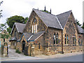
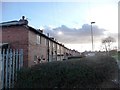
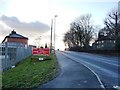
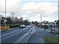

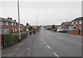
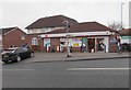
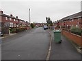
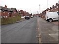
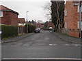
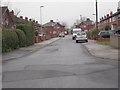
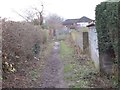
100 photos from this area
Area Information
Key information about the LS26 8UD including its size, population, and administrative classification.
- Area Type
- Postcode
- Area Size
- 6895 m²
- Population
- 1365
- Population Density
- 197981 people/km²
House Prices in LS26 8UD
21
Properties
£488,704
Average Sold Price
£109,500
Lowest Price
£4,650,000
Highest Price
Showing 21 properties
| Address | Type | Beds | Baths | Last Sale Price | Last Sale Date | |
|---|---|---|---|---|---|---|
| 34 Astley Lane, Swillington, Leeds, LS26 8UD | Terraced | 3 | 1 | £185,000 | Sep 2024 | |
| 4 Astley Lane, Swillington, Leeds, LS26 8UD | Semi-detached | - | - | £4,650,000 | Jul 2024 | |
| 14 Astley Lane, Swillington, Leeds, LS26 8UD | Terraced | 3 | 1 | £185,000 | Oct 2023 | |
| 24 Astley Lane, Swillington, Leeds, LS26 8UD | house | - | - | £190,000 | Sep 2021 | |
| 6 Astley Lane, Swillington, Leeds, LS26 8UD | Semi-detached | 3 | 1 | £174,866 | Aug 2021 | |
| 36 Astley Lane, Swillington, Leeds, LS26 8UD | Terraced | 3 | 1 | £168,000 | Jul 2021 | |
| 38 Astley Lane, Swillington, Leeds, LS26 8UD | Terraced | 3 | 1 | £144,995 | Mar 2019 | |
| 2 Astley Lane, Swillington, Leeds, LS26 8UD | house | 3 | 1 | £165,000 | Aug 2017 | |
| 18 Astley Lane, Swillington, Leeds, LS26 8UD | Terraced | - | - | £400,000 | Nov 2016 | |
| 22 Astley Lane, Swillington, Leeds, LS26 8UD | house | - | - | £125,000 | Oct 2015 |
Page 1 of 3
Energy Efficiency in LS26 8UD
Amenities
Schools
| Rank | School | Type | Entry gender | Ages |
|---|
Explore more schools in this area
Go to Schools tabDemographics
Household Size
Two person
most common
Accommodation Type
Houses
most common
Tenure
65
majority
Ethnic Group
White
most common
Religion
N/A
most common
Household Composition
N/A
most common
Age
47
median
Adults (30-64 years)
most common
Household Deprivation
N/A
with no deprivation
NS-SEC
23
in Lower managerial occupations
Explore more demographic insights in this area
Go to Demographics tabPlanning
Planning Constraints
- Flood RiskPremium
- Ramsar Wetland SitesPremium
- Area of Outstanding Natural BeautyPremium
- Protected Nature ReservePremium
- Protected WoodlandPremium