Area Overview for LS26 8QF
Photos of LS26 8QF
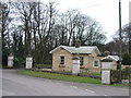
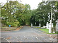
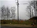
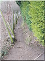
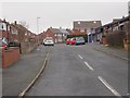
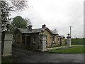
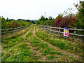
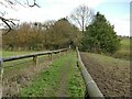
37 photos from this area
Area Information
Key information about the LS26 8QF including its size, population, and administrative classification.
- Area Type
- Postcode
- Area Size
- 12.8 hectares
- Population
- 1558
- Population Density
- 2092 people/km²
House Prices in LS26 8QF
39
Properties
£244,471
Average Sold Price
£63,500
Lowest Price
£475,000
Highest Price
Showing 39 properties
| Address | Type | Beds | Baths | Last Sale Price | Last Sale Date | |
|---|---|---|---|---|---|---|
| 101 Swillington Lane, Swillington, Leeds, LS26 8QF | Detached | 4 | 3 | £475,000 | Apr 2025 | |
| 97 Swillington Lane, Swillington, Leeds, LS26 8QF | Detached | 4 | 1 | £392,000 | Apr 2022 | |
| 45 Swillington Lane, Swillington, Leeds, LS26 8QF | house | - | - | £320,000 | Jun 2021 | |
| 99 Swillington Lane, Swillington, Leeds, LS26 8QF | house | - | - | £340,000 | Dec 2020 | |
| Rivendell, 63 Swillington Lane, Swillington, Leeds, LS26 8QF | Detached | 4 | 2 | £365,000 | Nov 2019 | |
| 43 Swillington Lane, Swillington, Leeds, LS26 8QF | Detached | 4 | - | £320,000 | Aug 2017 | |
| 95 Swillington Lane, Swillington, Leeds, LS26 8QF | Detached | 4 | 1 | £272,000 | Jan 2015 | |
| 51 Swillington Lane, Swillington, Leeds, LS26 8QF | Detached | 3 | 1 | £192,000 | Mar 2014 | |
| Linsatree, 83 Swillington Lane, Swillington, Leeds, LS26 8QF | house | - | - | £250,000 | Nov 2013 | |
| Shareen, 89 Swillington Lane, Swillington, Leeds, LS26 8QF | house | 4 | - | £247,000 | Jul 2012 |
Page 1 of 4
Energy Efficiency in LS26 8QF
Amenities
Schools
| Rank | School | Type | Entry gender | Ages |
|---|
Explore more schools in this area
Go to Schools tabDemographics
Household Size
Two person
most common
Accommodation Type
Houses
most common
Tenure
70
majority
Ethnic Group
White
most common
Religion
N/A
most common
Household Composition
N/A
most common
Age
47
median
Adults (30-64 years)
most common
Household Deprivation
N/A
with no deprivation
NS-SEC
26
in Lower managerial occupations
Explore more demographic insights in this area
Go to Demographics tabPlanning
Planning Constraints
- Flood RiskPremium
- Ramsar Wetland SitesPremium
- Area of Outstanding Natural BeautyPremium
- Protected Nature ReservePremium
- Protected WoodlandPremium