Area Overview for LS26 8LN
Photos of LS26 8LN
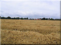
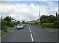
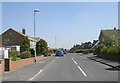
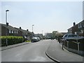
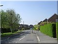
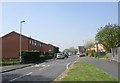
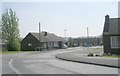
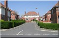
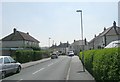
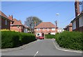
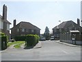
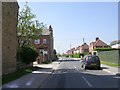
100 photos from this area
Area Information
Key information about the LS26 8LN including its size, population, and administrative classification.
- Area Type
- Postcode
- Area Size
- 3479 m²
- Population
- 1691
- Population Density
- 1569 people/km²
House Prices in LS26 8LN
15
Properties
£150,845
Average Sold Price
£43,000
Lowest Price
£255,000
Highest Price
Showing 15 properties
| Address | Type | Beds | Baths | Last Sale Price | Last Sale Date | |
|---|---|---|---|---|---|---|
| 28 Eshald Lane, Woodlesford, Leeds, LS26 8LN | Terraced | 3 | 1 | £255,000 | Dec 2024 | |
| 10 Eshald Lane, Woodlesford, Leeds, LS26 8LN | house | - | - | £165,500 | Feb 2022 | |
| 14 Eshald Lane, Woodlesford, Leeds, LS26 8LN | Terraced | 3 | 1 | £179,995 | Oct 2020 | |
| 16 Eshald Lane, Woodlesford, Leeds, LS26 8LN | Terraced | 3 | 2 | £167,500 | May 2019 | |
| 30 Eshald Lane, Woodlesford, Leeds, LS26 8LN | Terraced | 2 | 1 | £139,950 | Nov 2018 | |
| 12 Eshald Lane, Woodlesford, Leeds, LS26 8LN | Terraced | 3 | 1 | £170,500 | Nov 2017 | |
| 2 Eshald Lane, Woodlesford, Leeds, LS26 8LN | Terraced | 3 | 1 | £150,000 | Mar 2015 | |
| 4 Eshald Lane, Woodlesford, Leeds, LS26 8LN | Terraced | 2 | - | £132,000 | Apr 2014 | |
| 22 Eshald Lane, Woodlesford, Leeds, LS26 8LN | house | 2 | - | £105,000 | Sep 2012 | |
| 24 Eshald Lane, Woodlesford, Leeds, LS26 8LN | Terraced | - | - | £43,000 | Apr 1999 |
Page 1 of 2
Energy Efficiency in LS26 8LN
Amenities
Schools
| Rank | School | Type | Entry gender | Ages |
|---|
Explore more schools in this area
Go to Schools tabDemographics
Household Size
Two person
most common
Accommodation Type
Houses
most common
Tenure
76
majority
Ethnic Group
White
most common
Religion
N/A
most common
Household Composition
N/A
most common
Age
47
median
Adults (30-64 years)
most common
Household Deprivation
N/A
with no deprivation
NS-SEC
42
in Lower managerial occupations
Explore more demographic insights in this area
Go to Demographics tabPlanning
Planning Constraints
- Flood RiskPremium
- Ramsar Wetland SitesPremium
- Area of Outstanding Natural BeautyPremium
- Protected Nature ReservePremium
- Protected WoodlandPremium