Area Overview for LS26 8JP
Photos of LS26 8JP
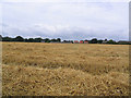
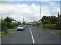
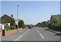
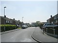
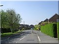
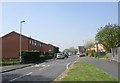
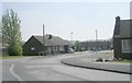
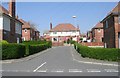
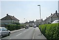
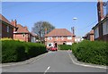
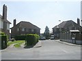
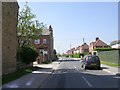
100 photos from this area
Area Information
Key information about the LS26 8JP including its size, population, and administrative classification.
- Area Type
- Postcode
- Area Size
- 1.9 hectares
- Population
- 1834
- Population Density
- 1258 people/km²
House Prices in LS26 8JP
20
Properties
£392,350
Average Sold Price
£96,500
Lowest Price
£925,000
Highest Price
Showing 20 properties
| Address | Type | Beds | Baths | Last Sale Price | Last Sale Date | |
|---|---|---|---|---|---|---|
| Wansfell, 33 Farrer Lane, Oulton, Leeds, LS26 8JP | Detached | 5 | 4 | £850,000 | Mar 2025 | |
| 1 Farrer Lane, Oulton, Leeds, LS26 8JP | Detached | 3 | 2 | £547,500 | Sep 2021 | |
| 9 Farrer Lane, Oulton, Leeds, LS26 8JP | Semi-detached | 2 | 1 | £290,000 | Mar 2019 | |
| 29 Farrer Lane, Oulton, Leeds, LS26 8JP | house | - | - | £925,000 | May 2015 | |
| 17 Farrer Lane, Oulton, Leeds, LS26 8JP | Terraced | - | - | £152,500 | Apr 2009 | |
| 2 Farrer Lane, Oulton, Leeds, LS26 8JP | Detached | - | - | £200,000 | Oct 2003 | |
| 10 Farrer Lane, Oulton, Leeds, LS26 8JP | Detached | - | - | £275,000 | Jul 2001 | |
| 14 Farrer Lane, Oulton, Leeds, LS26 8JP | Detached | - | - | £490,000 | May 2000 | |
| 5 Farrer Lane, Oulton, Leeds, LS26 8JP | Semi-detached | - | - | £97,000 | Apr 1998 | |
| 21 Farrer Lane, Oulton, Leeds, LS26 8JP | Semi-detached | - | - | £96,500 | Feb 1996 |
Page 1 of 2
Energy Efficiency in LS26 8JP
Amenities
Schools
| Rank | School | Type | Entry gender | Ages |
|---|
Explore more schools in this area
Go to Schools tabDemographics
Household Size
One person
most common
Accommodation Type
Houses
most common
Tenure
73
majority
Ethnic Group
White
most common
Religion
N/A
most common
Household Composition
N/A
most common
Age
47
median
Adults (30-64 years)
most common
Household Deprivation
N/A
with no deprivation
NS-SEC
43
in Lower managerial occupations
Explore more demographic insights in this area
Go to Demographics tabPlanning
Planning Constraints
- Flood RiskPremium
- Ramsar Wetland SitesPremium
- Area of Outstanding Natural BeautyPremium
- Protected Nature ReservePremium
- Protected WoodlandPremium