Area Overview for LS26 8FX
Photos of LS26 8FX
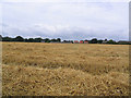
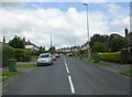
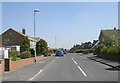
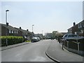
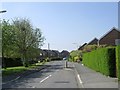
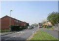
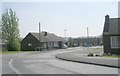
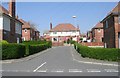
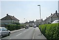
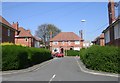
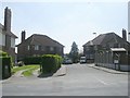
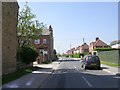
100 photos from this area
Area Information
Key information about the LS26 8FX including its size, population, and administrative classification.
- Area Type
- Postcode
- Area Size
- 10.3 hectares
- Population
- 1886
- Population Density
- 197 people/km²
House Prices in LS26 8FX
48
Properties
£379,036
Average Sold Price
£199,995
Lowest Price
£570,000
Highest Price
Showing 48 properties
| Address | Type | Beds | Baths | Last Sale Price | Last Sale Date | |
|---|---|---|---|---|---|---|
| 12 Park Road, Oulton, Leeds, LS26 8FX | Detached | 4 | 2 | £517,000 | Feb 2025 | |
| 11 Park Road, Oulton, Leeds, LS26 8FX | Detached | 4 | 3 | £570,000 | Jul 2024 | |
| 46 Park Road, Oulton, Leeds, LS26 8FX | Semi-detached | 2 | 1 | £245,000 | Feb 2023 | |
| 16 Park Road, Oulton, Leeds, LS26 8FX | Semi-detached | 2 | 1 | £224,000 | Aug 2021 | |
| 29 Park Road, Oulton, Leeds, LS26 8FX | house | - | - | £214,600 | Jun 2021 | |
| 5 Park Road, Oulton, Leeds, LS26 8FX | Detached | 4 | 3 | £500,000 | Feb 2021 | |
| 34 Park Road, Oulton, Leeds, LS26 8FX | Semi-detached | 3 | 1 | £212,000 | Oct 2020 | |
| 19 Park Road, Oulton, Leeds, LS26 8FX | Detached | 4 | 2 | £515,000 | Mar 2020 | |
| 27 Park Road, Oulton, Leeds, LS26 8FX | house | - | - | £315,000 | Feb 2019 | |
| 42 Park Road, Oulton, Leeds, LS26 8FX | Semi-detached | 2 | 1 | £215,000 | Sep 2018 |
Page 1 of 5
Energy Efficiency in LS26 8FX
Amenities
Schools
| Rank | School | Type | Entry gender | Ages |
|---|
Explore more schools in this area
Go to Schools tabDemographics
Household Size
Two person
most common
Accommodation Type
Houses
most common
Tenure
77
majority
Ethnic Group
White
most common
Religion
N/A
most common
Household Composition
N/A
most common
Age
47
median
Adults (30-64 years)
most common
Household Deprivation
N/A
with no deprivation
NS-SEC
38
in Lower managerial occupations
Explore more demographic insights in this area
Go to Demographics tabPlanning
Planning Constraints
- Flood RiskPremium
- Ramsar Wetland SitesPremium
- Area of Outstanding Natural BeautyPremium
- Protected Nature ReservePremium
- Protected WoodlandPremium