Area Overview for LS26 8DQ
Photos of LS26 8DQ
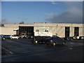
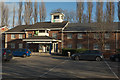
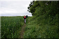
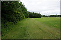
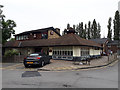
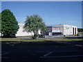
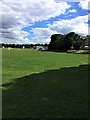
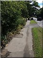
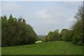
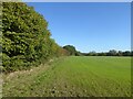
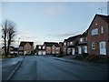
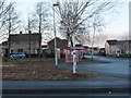
34 photos from this area
Area Information
Key information about the LS26 8DQ including its size, population, and administrative classification.
- Area Type
- Postcode
- Area Size
- 2537 m²
- Population
- 1834
- Population Density
- 1258 people/km²
House Prices in LS26 8DQ
18
Properties
£79,760
Average Sold Price
£40,000
Lowest Price
£145,000
Highest Price
Showing 18 properties
| Address | Type | Beds | Baths | Last Sale Price | Last Sale Date | |
|---|---|---|---|---|---|---|
| 14 Wordsworth Court, Oulton, Leeds, LS26 8DQ | Flat | 2 | 1 | £145,000 | May 2025 | |
| 1 Wordsworth Court, Oulton, Leeds, LS26 8DQ | Flat | - | - | £116,500 | Feb 2021 | |
| 19 Wordsworth Court, Oulton, Leeds, LS26 8DQ | Flat | - | - | £84,995 | Oct 2016 | |
| 5 Wordsworth Court, Oulton, Leeds, LS26 8DQ | Flat | - | - | £99,500 | Feb 2016 | |
| 12 Wordsworth Court, Oulton, Leeds, LS26 8DQ | Flat | - | - | £70,000 | Apr 2011 | |
| 2 Wordsworth Court, Oulton, Leeds, LS26 8DQ | Flat | - | - | £107,000 | Sep 2006 | |
| 4 Wordsworth Court, Oulton, Leeds, LS26 8DQ | Flat | - | - | £94,000 | Jan 2006 | |
| 18 Wordsworth Court, Oulton, Leeds, LS26 8DQ | Flat | - | - | £83,500 | Apr 2004 | |
| 11 Wordsworth Court, Oulton, Leeds, LS26 8DQ | Flat | 2 | 1 | £94,950 | Mar 2004 | |
| 6 Wordsworth Court, Oulton, Leeds, LS26 8DQ | Flat | - | - | £75,500 | Aug 2003 |
Page 1 of 2
Energy Efficiency in LS26 8DQ
Amenities
Schools
| Rank | School | Type | Entry gender | Ages |
|---|
Explore more schools in this area
Go to Schools tabDemographics
Household Size
One person
most common
Accommodation Type
Houses
most common
Tenure
73
majority
Ethnic Group
White
most common
Religion
N/A
most common
Household Composition
N/A
most common
Age
47
median
Adults (30-64 years)
most common
Household Deprivation
N/A
with no deprivation
NS-SEC
43
in Lower managerial occupations
Explore more demographic insights in this area
Go to Demographics tabPlanning
Planning Constraints
- Flood RiskPremium
- Ramsar Wetland SitesPremium
- Area of Outstanding Natural BeautyPremium
- Protected Nature ReservePremium
- Protected WoodlandPremium