Area Overview for LS25 7AH
Photos of LS25 7AH
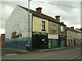
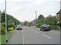
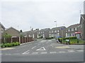
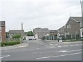
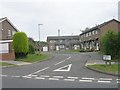
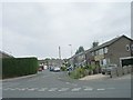
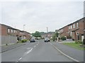
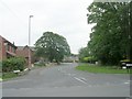
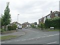
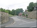
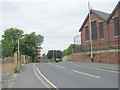
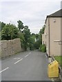
100 photos from this area
Area Information
Key information about the LS25 7AH including its size, population, and administrative classification.
- Area Type
- Postcode
- Area Size
- 5612 m²
- Population
- 1587
- Population Density
- 5306 people/km²
House Prices in LS25 7AH
25
Properties
£119,066
Average Sold Price
£36,500
Lowest Price
£230,000
Highest Price
Showing 25 properties
| Address | Type | Beds | Baths | Last Sale Price | Last Sale Date | |
|---|---|---|---|---|---|---|
| 105 High Street, Kippax, Leeds, LS25 7AH | Terraced | 3 | 1 | £197,000 | Aug 2022 | |
| 107 High Street, Kippax, Leeds, LS25 7AH | Cottage | 3 | 1 | £230,000 | Sep 2021 | |
| 69A High Street, Kippax, Leeds, LS25 7AH | Cottage | 2 | 1 | £165,000 | Aug 2020 | |
| 69 High Street, Kippax, Leeds, LS25 7AH | Semi-detached | 3 | 1 | £230,000 | Mar 2020 | |
| 77A High Street, Kippax, Leeds, LS25 7AH | Semi-detached | 1 | 1 | £100,000 | Oct 2019 | |
| 99 High Street, Kippax, Leeds, LS25 7AH | Terraced | 2 | 1 | £91,500 | Jun 2016 | |
| 59A High Street, Kippax, Leeds, LS25 7AH | Terraced | 2 | 1 | £135,000 | Jun 2016 | |
| 113 High Street, Kippax, Leeds, LS25 7AH | Cottage | 2 | 1 | £100,000 | Dec 2011 | |
| 83 High Street, Kippax, Leeds, LS25 7AH | house | 2 | 1 | £102,000 | Nov 2007 | |
| 87A High Street, Kippax, Leeds, LS25 7AH | Terraced | 2 | - | £104,000 | Mar 2006 |
Page 1 of 3
Energy Efficiency in LS25 7AH
Amenities
Schools
| Rank | School | Type | Entry gender | Ages |
|---|
Explore more schools in this area
Go to Schools tabDemographics
Household Size
One person
most common
Accommodation Type
Houses
most common
Tenure
57
majority
Ethnic Group
White
most common
Religion
N/A
most common
Household Composition
N/A
most common
Age
47
median
Adults (30-64 years)
most common
Household Deprivation
N/A
with no deprivation
NS-SEC
25
in Lower managerial occupations
Explore more demographic insights in this area
Go to Demographics tabPlanning
Planning Constraints
- Flood RiskPremium
- Ramsar Wetland SitesPremium
- Area of Outstanding Natural BeautyPremium
- Protected Nature ReservePremium
- Protected WoodlandPremium