Area Overview for LS25 6BB
Photos of LS25 6BB
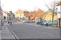
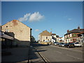
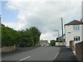
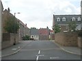
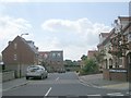
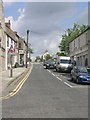
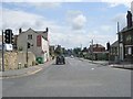
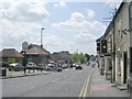
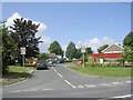
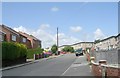
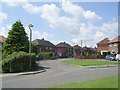
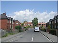
100 photos from this area
Area Information
Key information about the LS25 6BB including its size, population, and administrative classification.
- Area Type
- Postcode
- Area Size
- 3.6 hectares
- Population
- 2055
- Population Density
- 985 people/km²
House Prices in LS25 6BB
51
Properties
£257,127
Average Sold Price
£40,000
Lowest Price
£510,000
Highest Price
Showing 51 properties
| Address | Type | Beds | Baths | Last Sale Price | Last Sale Date | |
|---|---|---|---|---|---|---|
| 79 Low Street, Sherburn In Elmet, LS25 6BB | Terraced | 2 | 1 | £200,000 | Jul 2025 | |
| 81 Low Street, Sherburn In Elmet, LS25 6BB | Terraced | 2 | 1 | £175,000 | Jul 2025 | |
| 123 Low Street, Sherburn In Elmet, LS25 6BB | Detached | 4 | 3 | £510,000 | Jun 2025 | |
| 27 Low Street, Sherburn In Elmet, LS25 6BB | Cottage | 5 | 2 | £360,000 | Mar 2025 | |
| 109 Low Street, Sherburn In Elmet, LS25 6BB | Detached | 3 | 2 | £328,000 | Dec 2024 | |
| 77 Low Street, Sherburn In Elmet, LS25 6BB | Terraced | 2 | 1 | £195,000 | Feb 2022 | |
| Weetworth House, 39 Low Street, Sherburn In Elmet, LS25 6BB | Detached | - | - | £200,000 | Jan 2022 | |
| 55 Low Street, Sherburn In Elmet, LS25 6BB | Terraced | 3 | 2 | £292,500 | Oct 2021 | |
| 97 Low Street, Sherburn In Elmet, LS25 6BB | house | - | - | £323,950 | Sep 2021 | |
| 117 Low Street, Sherburn In Elmet, LS25 6BB | house | - | - | £360,000 | Aug 2021 |
Page 1 of 6
Energy Efficiency in LS25 6BB
Amenities
Schools
| Rank | School | Type | Entry gender | Ages |
|---|
Explore more schools in this area
Go to Schools tabDemographics
Household Size
Two person
most common
Accommodation Type
Houses
most common
Tenure
68
majority
Ethnic Group
White
most common
Religion
N/A
most common
Household Composition
N/A
most common
Age
47
median
Adults (30-64 years)
most common
Household Deprivation
N/A
with no deprivation
NS-SEC
36
in Lower managerial occupations
Explore more demographic insights in this area
Go to Demographics tabPlanning
Planning Constraints
- Flood RiskPremium
- Ramsar Wetland SitesPremium
- Area of Outstanding Natural BeautyPremium
- Protected Nature ReservePremium
- Protected WoodlandPremium