Area Overview for LS25 5JA
Photos of LS25 5JA
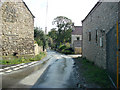
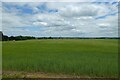
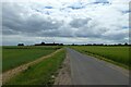
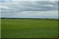
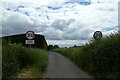
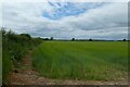
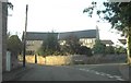
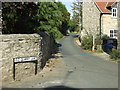
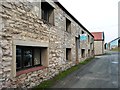
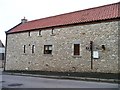
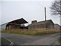
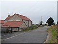
25 photos from this area
Area Information
Key information about the LS25 5JA including its size, population, and administrative classification.
- Area Type
- Postcode
- Area Size
- 2.5 km²
- Population
- 1414
- Population Density
- 79 people/km²
House Prices in LS25 5JA
68
Properties
£404,250
Average Sold Price
£90,000
Lowest Price
£650,000
Highest Price
Showing 68 properties
| Address | Type | Beds | Baths | Last Sale Price | Last Sale Date | |
|---|---|---|---|---|---|---|
| The Stables, Butts Lane, Lumby, LS25 5JA | Semi-detached | 3 | 2 | £280,000 | Feb 2025 | |
| Stone House, Old Quarry Lane, Lumby, LS25 5JA | house | - | - | £650,000 | Sep 2024 | |
| The Gate House, Butts Lane, Lumby, LS25 5JA | Detached | 4 | 2 | £575,000 | Feb 2024 | |
| The Hayloft, Butts Lane, Lumby, LS25 5JA | Terraced | 3 | 3 | £485,000 | Nov 2023 | |
| The Fold Yard, Butts Lane, Lumby, LS25 5JA | Semi-detached | - | - | £475,000 | Jul 2023 | |
| 8 Old Quarry Lane, Lumby, LS25 5JA | Detached | 4 | 2 | £497,500 | Mar 2023 | |
| Stewards House, Butts Lane, Lumby, LS25 5JA | Detached | 3 | 1 | £425,000 | Aug 2022 | |
| The Granary, Butts Lane, Lumby, LS25 5JA | Semi-detached | 4 | 3 | £620,000 | Jun 2022 | |
| Stonebarn House, Butts Lane, Lumby, LS25 5JA | house | - | - | £650,000 | Jun 2021 | |
| Hall Farm Cottage, Butts Lane, Lumby, LS25 5JA | Detached | 3 | 1 | £210,000 | Nov 2019 |
Page 1 of 7
Energy Efficiency in LS25 5JA
Amenities
Schools
| Rank | School | Type | Entry gender | Ages |
|---|
Explore more schools in this area
Go to Schools tabDemographics
Household Size
Two person
most common
Accommodation Type
Houses
most common
Tenure
76
majority
Ethnic Group
White
most common
Religion
N/A
most common
Household Composition
N/A
most common
Age
47
median
Adults (30-64 years)
most common
Household Deprivation
N/A
with no deprivation
NS-SEC
44
in Lower managerial occupations
Explore more demographic insights in this area
Go to Demographics tabPlanning
Planning Constraints
- Flood RiskPremium
- Ramsar Wetland SitesPremium
- Area of Outstanding Natural BeautyPremium
- Protected Nature ReservePremium
- Protected WoodlandPremium