Area Overview for LS25 2EZ
Photos of LS25 2EZ
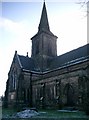
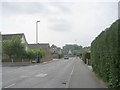
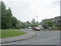
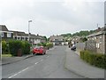
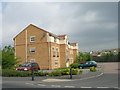
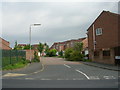
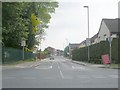
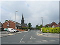
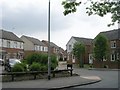
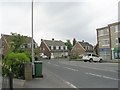
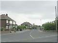
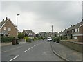
99 photos from this area
Area Information
Key information about the LS25 2EZ including its size, population, and administrative classification.
- Area Type
- Postcode
- Area Size
- 8727 m²
- Population
- 1501
- Population Density
- 5456 people/km²
House Prices in LS25 2EZ
25
Properties
£151,656
Average Sold Price
£45,000
Lowest Price
£277,000
Highest Price
Showing 25 properties
| Address | Type | Beds | Baths | Last Sale Price | Last Sale Date | |
|---|---|---|---|---|---|---|
| 69 Sturton Lane, Garforth, Leeds, LS25 2EZ | Terraced | 3 | 2 | £262,500 | May 2024 | |
| 81 Sturton Lane, Garforth, Leeds, LS25 2EZ | Terraced | 2 | 1 | £149,700 | Jun 2023 | |
| 83 Sturton Lane, Garforth, Leeds, LS25 2EZ | house | 2 | 1 | £204,000 | Dec 2022 | |
| 84 Sturton Lane, Garforth, Leeds, LS25 2EZ | Retail | 2 | 1 | £180,000 | Dec 2022 | |
| 82 Sturton Lane, Garforth, Leeds, LS25 2EZ | Cottage | 3 | 2 | £210,000 | Aug 2022 | |
| 16 Sturton Lane, Garforth, Leeds, LS25 2EZ | house | - | - | £277,000 | Jan 2022 | |
| 80 Sturton Lane, Garforth, Leeds, LS25 2EZ | Terraced | 2 | 1 | £184,950 | Sep 2021 | |
| 68 Sturton Lane, Garforth, Leeds, LS25 2EZ | Terraced | 4 | 1 | £195,000 | Aug 2019 | |
| 75 Sturton Lane, Garforth, Leeds, LS25 2EZ | house | - | - | £118,000 | Jul 2019 | |
| 70 Sturton Lane, Garforth, Leeds, LS25 2EZ | Terraced | 3 | 1 | £178,000 | Jul 2018 |
Page 1 of 3
Energy Efficiency in LS25 2EZ
Amenities
Schools
| Rank | School | Type | Entry gender | Ages |
|---|
Explore more schools in this area
Go to Schools tabDemographics
Household Size
Family (3-5 people)
most common
Accommodation Type
Houses
most common
Tenure
84
majority
Ethnic Group
White
most common
Religion
N/A
most common
Household Composition
N/A
most common
Age
47
median
Adults (30-64 years)
most common
Household Deprivation
N/A
with no deprivation
NS-SEC
40
in Lower managerial occupations
Explore more demographic insights in this area
Go to Demographics tabPlanning
Planning Constraints
- Flood RiskPremium
- Ramsar Wetland SitesPremium
- Area of Outstanding Natural BeautyPremium
- Protected Nature ReservePremium
- Protected WoodlandPremium