Area Overview for LS25 2EP
Photos of LS25 2EP
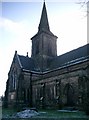
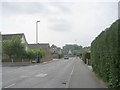
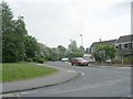
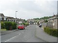
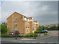
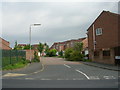
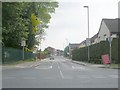
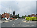
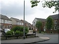
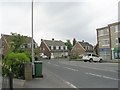
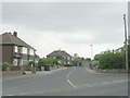
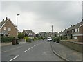
99 photos from this area
Area Information
Key information about the LS25 2EP including its size, population, and administrative classification.
- Area Type
- Postcode
- Area Size
- 9782 m²
- Population
- 1394
- Population Density
- 2862 people/km²
House Prices in LS25 2EP
27
Properties
£151,180
Average Sold Price
£55,995
Lowest Price
£295,000
Highest Price
Showing 27 properties
| Address | Type | Beds | Baths | Last Sale Price | Last Sale Date | |
|---|---|---|---|---|---|---|
| 2 Montague Crescent, Garforth, Leeds, LS25 2EP | Semi-detached | 3 | 1 | £295,000 | Aug 2024 | |
| 40 Montague Crescent, Garforth, Leeds, LS25 2EP | Retail | 3 | 1 | £263,000 | Jan 2023 | |
| 16 Montague Crescent, Garforth, Leeds, LS25 2EP | Bungalow | - | - | £200,000 | Jun 2021 | |
| 24 Montague Crescent, Garforth, Leeds, LS25 2EP | Bungalow | 4 | 1 | £170,000 | Mar 2016 | |
| 28 Montague Crescent, Garforth, Leeds, LS25 2EP | Bungalow | - | - | £125,000 | Dec 2012 | |
| 26 Montague Crescent, Garforth, Leeds, LS25 2EP | Bungalow | - | - | £185,000 | Sep 2010 | |
| 46 Montague Crescent, Garforth, Leeds, LS25 2EP | Bungalow | - | - | £176,000 | Sep 2010 | |
| 8 Montague Crescent, Garforth, Leeds, LS25 2EP | Semi-detached | - | - | £185,000 | Jun 2007 | |
| 54 Montague Crescent, Garforth, Leeds, LS25 2EP | Semi-detached | - | - | £176,000 | Apr 2007 | |
| 50 Montague Crescent, Garforth, Leeds, LS25 2EP | Detached | 3 | 1 | £189,995 | Apr 2007 |
Page 1 of 3
Energy Efficiency in LS25 2EP
Amenities
Schools
| Rank | School | Type | Entry gender | Ages |
|---|
Explore more schools in this area
Go to Schools tabDemographics
Household Size
Two person
most common
Accommodation Type
Houses
most common
Tenure
72
majority
Ethnic Group
White
most common
Religion
N/A
most common
Household Composition
N/A
most common
Age
47
median
Adults (30-64 years)
most common
Household Deprivation
N/A
with no deprivation
NS-SEC
32
in Lower managerial occupations
Explore more demographic insights in this area
Go to Demographics tabPlanning
Planning Constraints
- Flood RiskPremium
- Ramsar Wetland SitesPremium
- Area of Outstanding Natural BeautyPremium
- Protected Nature ReservePremium
- Protected WoodlandPremium