Area Overview for LS24 9PY
Photos of LS24 9PY
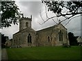
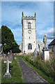
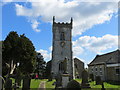
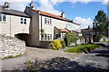
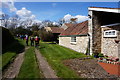
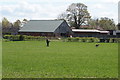
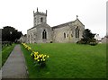
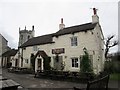
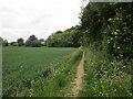
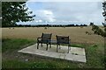
95 photos from this area
Area Information
Key information about the LS24 9PY including its size, population, and administrative classification.
- Area Type
- Postcode
- Area Size
- 32.4 hectares
- Population
- 2505
- Population Density
- 66 people/km²
House Prices in LS24 9PY
40
Properties
£417,992
Average Sold Price
£105,000
Lowest Price
£900,000
Highest Price
Showing 40 properties
| Address | Type | Beds | Baths | Last Sale Price | Last Sale Date | |
|---|---|---|---|---|---|---|
| Pear Tree House, Main Street, Saxton, LS24 9PY | house | 5 | 3 | £715,000 | Aug 2024 | |
| Lime Cottage, Main Street, Saxton, LS24 9PY | Terraced | 3 | 1 | £370,000 | Jan 2024 | |
| Whitegates, Main Street, Saxton, LS24 9PY | house | - | - | £295,000 | Jan 2023 | |
| Red Brick Cottage, Main Street, Saxton, LS24 9PY | house | - | - | £291,600 | Dec 2022 | |
| 2 Church Court, Saxton, LS24 9PY | Detached | 3 | 2 | £430,000 | Nov 2022 | |
| 6 Church Court, Saxton, LS24 9PY | Detached | 4 | - | £535,000 | Aug 2019 | |
| 1 Church Court, Saxton, LS24 9PY | house | - | - | £430,000 | Mar 2019 | |
| Coldhill Cottage, Main Street, Saxton, LS24 9PY | house | - | - | £420,000 | Dec 2017 | |
| The Forge, Main Street, Saxton, LS24 9PY | house | 4 | - | £590,000 | Sep 2016 | |
| Athelstan House, Main Street, Saxton, LS24 9PY | house | 4 | 2 | £585,000 | Jun 2016 |
Page 1 of 4
Energy Efficiency in LS24 9PY
Amenities
Schools
| Rank | School | Type | Entry gender | Ages |
|---|
Explore more schools in this area
Go to Schools tabDemographics
Household Size
Two person
most common
Accommodation Type
Houses
most common
Tenure
79
majority
Ethnic Group
White
most common
Religion
N/A
most common
Household Composition
N/A
most common
Age
47
median
Adults (30-64 years)
most common
Household Deprivation
N/A
with no deprivation
NS-SEC
47
in Lower managerial occupations
Explore more demographic insights in this area
Go to Demographics tabPlanning
Planning Constraints
- Flood RiskPremium
- Ramsar Wetland SitesPremium
- Area of Outstanding Natural BeautyPremium
- Protected Nature ReservePremium
- Protected WoodlandPremium