Area Overview for LS23 6PG
Photos of LS23 6PG
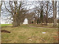
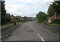
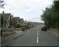
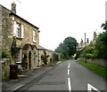
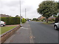
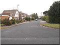
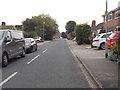
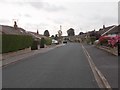
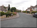
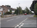
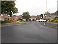

44 photos from this area
Area Information
Key information about the LS23 6PG including its size, population, and administrative classification.
- Area Type
- Postcode
- Area Size
- 1.4 hectares
- Population
- 1295
- Population Density
- 539 people/km²
House Prices in LS23 6PG
26
Properties
£259,518
Average Sold Price
£46,500
Lowest Price
£450,000
Highest Price
Showing 26 properties
| Address | Type | Beds | Baths | Last Sale Price | Last Sale Date | |
|---|---|---|---|---|---|---|
| 64 Clifford Moor Road, Boston Spa, Wetherby, LS23 6PG | Bungalow | 3 | 2 | £450,000 | Oct 2024 | |
| 26 Clifford Moor Road, Boston Spa, Wetherby, LS23 6PG | Bungalow | - | - | £432,000 | Apr 2024 | |
| 16 Clifford Moor Road, Boston Spa, Wetherby, LS23 6PG | Bungalow | - | - | £251,000 | Jan 2022 | |
| 6 Clifford Moor Road, Boston Spa, Wetherby, LS23 6PG | Bungalow | - | - | £279,950 | Aug 2021 | |
| 28 Clifford Moor Road, Boston Spa, Wetherby, LS23 6PG | Bungalow | 3 | - | £350,000 | Jun 2021 | |
| 14 Clifford Moor Road, Boston Spa, Wetherby, LS23 6PG | Bungalow | - | - | £298,000 | May 2021 | |
| 24 Clifford Moor Road, Boston Spa, Wetherby, LS23 6PG | Bungalow | 2 | - | £285,000 | Feb 2020 | |
| 70 Clifford Moor Road, Boston Spa, Wetherby, LS23 6PG | Bungalow | 3 | - | £321,500 | Apr 2019 | |
| 4 Clifford Moor Road, Boston Spa, Wetherby, LS23 6PG | Bungalow | - | - | £190,000 | Feb 2019 | |
| 66 Clifford Moor Road, Boston Spa, Wetherby, LS23 6PG | Detached | 3 | 2 | £285,000 | Jun 2018 |
Page 1 of 3
Energy Efficiency in LS23 6PG
Amenities
Schools
| Rank | School | Type | Entry gender | Ages |
|---|
Explore more schools in this area
Go to Schools tabDemographics
Household Size
Two person
most common
Accommodation Type
Houses
most common
Tenure
80
majority
Ethnic Group
White
most common
Religion
N/A
most common
Household Composition
N/A
most common
Age
47
median
Adults (30-64 years)
most common
Household Deprivation
N/A
with no deprivation
NS-SEC
38
in Lower managerial occupations
Explore more demographic insights in this area
Go to Demographics tabPlanning
Planning Constraints
- Flood RiskPremium
- Ramsar Wetland SitesPremium
- Area of Outstanding Natural BeautyPremium
- Protected Nature ReservePremium
- Protected WoodlandPremium