Area Overview for LS22 5LX
Photos of LS22 5LX
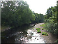
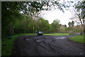
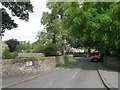
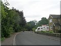
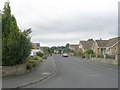
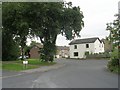
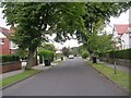
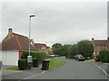
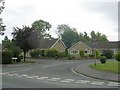
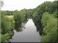
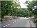
71 photos from this area
Area Information
Key information about the LS22 5LX including its size, population, and administrative classification.
- Area Type
- Postcode
- Area Size
- 2.0 hectares
- Population
- 1534
- Population Density
- 379 people/km²
House Prices in LS22 5LX
23
Properties
£324,998
Average Sold Price
£120,000
Lowest Price
£550,000
Highest Price
Showing 23 properties
| Address | Type | Beds | Baths | Last Sale Price | Last Sale Date | |
|---|---|---|---|---|---|---|
| 3 Kingfisher Reach, Collingham, Wetherby, LS22 5LX | Detached | 4 | 2 | £500,000 | Oct 2022 | |
| 11 Kingfisher Reach, Collingham, Wetherby, LS22 5LX | Detached | 4 | 2 | £550,000 | Jan 2022 | |
| 17 Kingfisher Reach, Collingham, Wetherby, LS22 5LX | Detached | 4 | 2 | £440,000 | Dec 2020 | |
| 23 Kingfisher Reach, Collingham, Wetherby, LS22 5LX | house | - | - | £440,000 | Dec 2018 | |
| 1 Kingfisher Reach, Collingham, Wetherby, LS22 5LX | Detached | 4 | 2 | £416,950 | Jun 2018 | |
| 10 Kingfisher Reach, Collingham, Wetherby, LS22 5LX | Detached | 3 | 2 | £400,000 | Sep 2017 | |
| 5 Kingfisher Reach, Collingham, Wetherby, LS22 5LX | Detached | 5 | 2 | £445,000 | Apr 2017 | |
| 4 Kingfisher Reach, Collingham, Wetherby, LS22 5LX | house | - | - | £435,000 | Jan 2016 | |
| 12 Kingfisher Reach, Collingham, Wetherby, LS22 5LX | Detached | 4 | 2 | £309,000 | Jun 2013 | |
| 19 Kingfisher Reach, Collingham, Wetherby, LS22 5LX | Detached | 4 | - | £370,000 | Oct 2011 |
Page 1 of 3
Energy Efficiency in LS22 5LX
Amenities
Schools
| Rank | School | Type | Entry gender | Ages |
|---|
Explore more schools in this area
Go to Schools tabDemographics
Household Size
Two person
most common
Accommodation Type
Houses
most common
Tenure
88
majority
Ethnic Group
White
most common
Religion
N/A
most common
Household Composition
N/A
most common
Age
47
median
Adults (30-64 years)
most common
Household Deprivation
N/A
with no deprivation
NS-SEC
56
in Lower managerial occupations
Explore more demographic insights in this area
Go to Demographics tabPlanning
Planning Constraints
- Flood RiskPremium
- Ramsar Wetland SitesPremium
- Area of Outstanding Natural BeautyPremium
- Protected Nature ReservePremium
- Protected WoodlandPremium