Area Overview for LS22 5AS
Photos of LS22 5AS
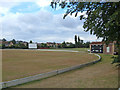
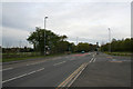
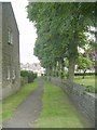
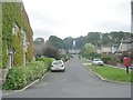
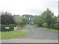
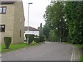
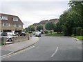
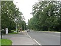
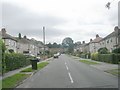
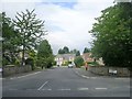

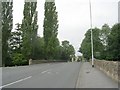
83 photos from this area
Area Information
Key information about the LS22 5AS including its size, population, and administrative classification.
- Area Type
- Postcode
- Area Size
- 1.7 hectares
- Population
- 1534
- Population Density
- 379 people/km²
House Prices in LS22 5AS
14
Properties
£346,400
Average Sold Price
£151,500
Lowest Price
£800,000
Highest Price
Showing 14 properties
| Address | Type | Beds | Baths | Last Sale Price | Last Sale Date | |
|---|---|---|---|---|---|---|
| Rectory Farm House, Main Street, Collingham, Wetherby, LS22 5AS | Detached | 4 | 2 | £800,000 | Oct 2025 | |
| The Cottage, Main Street, Collingham, Wetherby, LS22 5AS | Detached | 2 | 1 | £267,500 | Mar 2025 | |
| Smithy Cottage, Main Street, Collingham, Wetherby, LS22 5AS | Semi-detached | 3 | 2 | £525,000 | Jul 2023 | |
| Hughenden House, Main Street, Collingham, Wetherby, LS22 5AS | Semi-detached | 5 | 2 | £700,000 | Sep 2020 | |
| Rose Cottage, Main Street, Collingham, Wetherby, LS22 5AS | house | - | - | £230,000 | Feb 2012 | |
| Primrose Cottage, Main Street, Collingham, Wetherby, LS22 5AS | house | - | - | £229,000 | Mar 2011 | |
| Joiners Cottage, Main Street, Collingham, Wetherby, LS22 5AS | Semi-detached | - | - | £248,000 | Feb 2007 | |
| 2, Church Cottages, Main Street, Collingham, Wetherby, LS22 5AS | Terraced | - | - | £155,000 | May 2006 | |
| The Rafters, Main Street, Collingham, Wetherby, LS22 5AS | Terraced | - | - | £158,000 | Nov 2003 | |
| Ferndale, Main Street, Collingham, Wetherby, LS22 5AS | Land | 3 | - | £151,500 | Apr 2001 |
Page 1 of 2
Energy Efficiency in LS22 5AS
Amenities
Schools
| Rank | School | Type | Entry gender | Ages |
|---|
Explore more schools in this area
Go to Schools tabDemographics
Household Size
Two person
most common
Accommodation Type
Houses
most common
Tenure
88
majority
Ethnic Group
White
most common
Religion
N/A
most common
Household Composition
N/A
most common
Age
47
median
Adults (30-64 years)
most common
Household Deprivation
N/A
with no deprivation
NS-SEC
56
in Lower managerial occupations
Explore more demographic insights in this area
Go to Demographics tabPlanning
Planning Constraints
- Flood RiskPremium
- Ramsar Wetland SitesPremium
- Area of Outstanding Natural BeautyPremium
- Protected Nature ReservePremium
- Protected WoodlandPremium