Area Overview for LS22 4HX
Photos of LS22 4HX
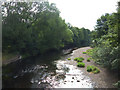

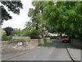
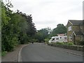
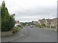
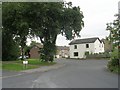
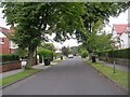
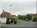
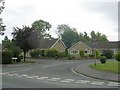
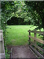
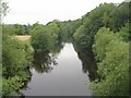
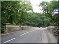
71 photos from this area
Area Information
Key information about the LS22 4HX including its size, population, and administrative classification.
- Area Type
- Postcode
- Area Size
- 33.0 hectares
- Population
- 1648
- Population Density
- 869 people/km²
House Prices in LS22 4HX
17
Properties
£744,215
Average Sold Price
£28,153
Lowest Price
£1,600,000
Highest Price
Showing 17 properties
| Address | Type | Beds | Baths | Last Sale Price | Last Sale Date | |
|---|---|---|---|---|---|---|
| Garth Cottage, Trip Lane, Linton, Wetherby, LS22 4HX | Bungalow | - | - | £920,000 | Nov 2023 | |
| Gorran, Trip Lane, Linton, Wetherby, LS22 4HX | house | - | - | £665,000 | Aug 2019 | |
| Chestnut Court, Trip Lane, Linton, Wetherby, LS22 4HX | Detached | 3 | - | £610,000 | Jun 2015 | |
| Hawthorne Cottage, Trip Lane, Linton, Wetherby, LS22 4HX | Detached | - | - | £895,000 | Sep 2014 | |
| Marchmont, Trip Lane, Linton, Wetherby, LS22 4HX | house | - | - | £875,000 | Mar 2011 | |
| Fircroft, Trip Lane, Linton, Wetherby, LS22 4HX | Detached | 4 | 2 | £494,000 | Mar 2011 | |
| Green Acres, Trip Lane, Linton, Wetherby, LS22 4HX | Detached | 5 | - | £645,000 | Aug 2010 | |
| West Lawn, Trip Lane, Linton, Wetherby, LS22 4HX | Detached | 5 | 4 | £1,600,000 | Jun 2010 | |
| Brander Lodge, Trip Lane, Linton, Wetherby, LS22 4HX | Semi-detached | - | - | £710,000 | Jan 2007 | |
| Redmays, Trip Lane, Linton, Wetherby, LS22 4HX | Semi-detached | - | - | £28,153 | May 1998 |
Page 1 of 2
Energy Efficiency in LS22 4HX
Amenities
Schools
| Rank | School | Type | Entry gender | Ages |
|---|
Explore more schools in this area
Go to Schools tabDemographics
Household Size
Two person
most common
Accommodation Type
Houses
most common
Tenure
92
majority
Ethnic Group
White
most common
Religion
N/A
most common
Household Composition
N/A
most common
Age
47
median
Adults (30-64 years)
most common
Household Deprivation
N/A
with no deprivation
NS-SEC
60
in Lower managerial occupations
Explore more demographic insights in this area
Go to Demographics tabPlanning
Planning Constraints
- Flood RiskPremium
- Ramsar Wetland SitesPremium
- Area of Outstanding Natural BeautyPremium
- Protected Nature ReservePremium
- Protected WoodlandPremium