Area Overview for LS22 4BS
Photos of LS22 4BS
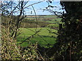
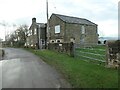
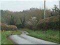
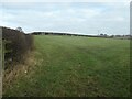
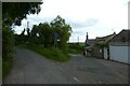
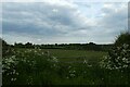
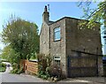
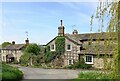
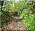
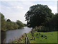
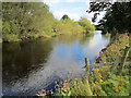
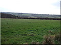
24 photos from this area
Area Information
Key information about the LS22 4BS including its size, population, and administrative classification.
- Area Type
- Postcode
- Area Size
- 93.9 hectares
- Population
- 1685
- Population Density
- 65 people/km²
House Prices in LS22 4BS
11
Properties
£750,000
Average Sold Price
£675,000
Lowest Price
£825,000
Highest Price
Showing 11 properties
| Address | Type | Beds | Baths | Last Sale Price | Last Sale Date | |
|---|---|---|---|---|---|---|
| Rosemary Cottage, Gill Lane, Kearby, LS22 4BS | Semi-detached | 3 | 3 | £825,000 | Jun 2023 | |
| Cherry Tree Farm, Gill Lane, Kearby, LS22 4BS | house | - | - | £675,000 | Apr 2019 | |
| Manor Farm, Gill Lane, Kearby, LS22 4BS | Detached | 4 | - | - | - | |
| Former Manor Farm, Gill Lane, Kearby, LS22 4BS | undefined | - | - | - | - | |
| Spring Close Farm, Kearby Town End To Spring Close Farm, Kearby, LS22 4BS | Detached | - | - | - | - | |
| Rooksfield Farm, Gill Lane, Kearby, LS22 4BS | Detached | - | - | - | - | |
| High Wharfe, Gill Lane, Kearby, LS22 4BS | Detached | - | - | - | - | |
| Flat 2, Cherry Tree Cottage, Gill Lane, Kearby, LS22 4BS | Flat | 2 | - | - | - | |
| Flat 1, Rosemary Cottage, Gill Lane, Kearby, LS22 4BS | Equestrian | 1 | - | - | - | |
| Hawthorne Lodge, Manor Farm, Gill Lane, Kearby, LS22 4BS | Detached | - | - | - | - |
Page 1 of 2
Energy Efficiency in LS22 4BS
Amenities
Schools
| Rank | School | Type | Entry gender | Ages |
|---|
Explore more schools in this area
Go to Schools tabDemographics
Household Size
Two person
most common
Accommodation Type
Houses
most common
Tenure
83
majority
Ethnic Group
White
most common
Religion
N/A
most common
Household Composition
N/A
most common
Age
47
median
Adults (30-64 years)
most common
Household Deprivation
N/A
with no deprivation
NS-SEC
49
in Lower managerial occupations
Explore more demographic insights in this area
Go to Demographics tabPlanning
Planning Constraints
- Flood RiskPremium
- Ramsar Wetland SitesPremium
- Area of Outstanding Natural BeautyPremium
- Protected Nature ReservePremium
- Protected WoodlandPremium