Area Overview for LS21 2DY
Photos of LS21 2DY
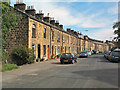
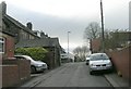
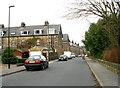
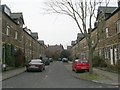
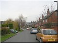
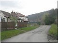
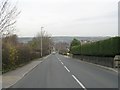
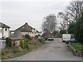
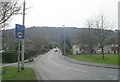
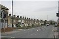
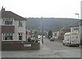
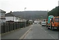
100 photos from this area
Area Information
Key information about the LS21 2DY including its size, population, and administrative classification.
- Area Type
- Postcode
- Area Size
- 6172 m²
- Population
- 1682
- Population Density
- 272515 people/km²
House Prices in LS21 2DY
15
Properties
£328,945
Average Sold Price
£129,950
Lowest Price
£585,000
Highest Price
Showing 15 properties
| Address | Type | Beds | Baths | Last Sale Price | Last Sale Date | |
|---|---|---|---|---|---|---|
| Inverey, Newall Mount, Otley, LS21 2DY | Terraced | 5 | 1 | £585,000 | Mar 2025 | |
| 11 Newall Mount, Otley, LS21 2DY | Terraced | 4 | 2 | £457,500 | Oct 2023 | |
| 2 Newall Mount, Otley, LS21 2DY | Retail | 4 | 2 | £440,000 | Nov 2020 | |
| Redcot Nurses Home, Newall Mount, Otley, LS21 2DY | house | 5 | - | £375,000 | Jul 2015 | |
| Braeside, Newall Mount, Otley, LS21 2DY | house | - | - | £318,000 | Dec 2014 | |
| 9 Newall Mount, Otley, LS21 2DY | house | 4 | - | £264,500 | Nov 2011 | |
| 6 Newall Mount, Otley, LS21 2DY | house | 4 | - | £295,000 | Dec 2010 | |
| 7 Newall Mount, Otley, LS21 2DY | house | - | - | £229,500 | Jun 2003 | |
| 4 Newall Mount, Otley, LS21 2DY | Terraced | - | - | £195,000 | Jan 2003 | |
| 3 Newall Mount, Otley, LS21 2DY | Terraced | - | - | £129,950 | Jun 2000 |
Page 1 of 2
Energy Efficiency in LS21 2DY
Amenities
Schools
| Rank | School | Type | Entry gender | Ages |
|---|
Explore more schools in this area
Go to Schools tabDemographics
Household Size
Two person
most common
Accommodation Type
Houses
most common
Tenure
81
majority
Ethnic Group
White
most common
Religion
N/A
most common
Household Composition
N/A
most common
Age
47
median
Adults (30-64 years)
most common
Household Deprivation
N/A
with no deprivation
NS-SEC
48
in Lower managerial occupations
Explore more demographic insights in this area
Go to Demographics tabPlanning
Planning Constraints
- Flood RiskPremium
- Ramsar Wetland SitesPremium
- Area of Outstanding Natural BeautyPremium
- Protected Nature ReservePremium
- Protected WoodlandPremium