Area Overview for LS21 2BZ
Photos of LS21 2BZ
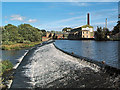
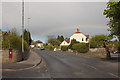
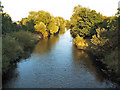
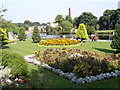
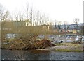
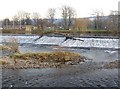
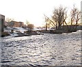
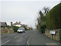
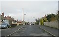
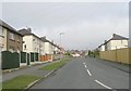
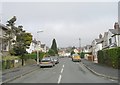
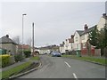
100 photos from this area
Area Information
Key information about the LS21 2BZ including its size, population, and administrative classification.
- Area Type
- Postcode
- Area Size
- 5705 m²
- Population
- 1574
- Population Density
- 4767 people/km²
House Prices in LS21 2BZ
22
Properties
£179,246
Average Sold Price
£55,000
Lowest Price
£280,000
Highest Price
Showing 22 properties
| Address | Type | Beds | Baths | Last Sale Price | Last Sale Date | |
|---|---|---|---|---|---|---|
| 72 The Gills, Otley, LS21 2BZ | Semi-detached | 3 | 1 | £255,000 | Oct 2021 | |
| 78 The Gills, Otley, LS21 2BZ | Semi-detached | 3 | 2 | £280,000 | Mar 2021 | |
| 74 The Gills, Otley, LS21 2BZ | house | - | - | £265,000 | Sep 2020 | |
| 88 The Gills, Otley, LS21 2BZ | Semi-detached | 3 | 1 | £194,000 | Jun 2019 | |
| 112 The Gills, Otley, LS21 2BZ | Semi-detached | 3 | - | £210,000 | Mar 2018 | |
| 86 The Gills, Otley, LS21 2BZ | Semi-detached | 3 | - | £168,000 | Nov 2015 | |
| 106 The Gills, Otley, LS21 2BZ | Semi-detached | 3 | 1 | £193,950 | Oct 2014 | |
| 108 The Gills, Otley, LS21 2BZ | Semi-detached | 3 | 1 | £170,000 | Jan 2014 | |
| 114 The Gills, Otley, LS21 2BZ | house | 4 | - | £210,000 | May 2013 | |
| 82 The Gills, Otley, LS21 2BZ | house | - | - | £169,000 | Sep 2010 |
Page 1 of 3
Energy Efficiency in LS21 2BZ
Amenities
Schools
| Rank | School | Type | Entry gender | Ages |
|---|
Explore more schools in this area
Go to Schools tabDemographics
Household Size
Two person
most common
Accommodation Type
Houses
most common
Tenure
84
majority
Ethnic Group
White
most common
Religion
N/A
most common
Household Composition
N/A
most common
Age
47
median
Adults (30-64 years)
most common
Household Deprivation
N/A
with no deprivation
NS-SEC
37
in Lower managerial occupations
Explore more demographic insights in this area
Go to Demographics tabPlanning
Planning Constraints
- Flood RiskPremium
- Ramsar Wetland SitesPremium
- Area of Outstanding Natural BeautyPremium
- Protected Nature ReservePremium
- Protected WoodlandPremium