Area Overview for LS20 9BN
Photos of LS20 9BN
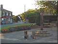
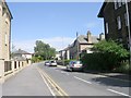
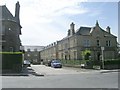
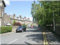
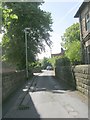
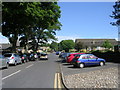
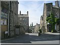
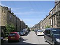
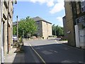
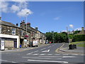
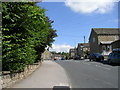
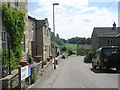
100 photos from this area
Area Information
Key information about the LS20 9BN including its size, population, and administrative classification.
- Area Type
- Postcode
- Area Size
- 1.4 hectares
- Population
- 1699
- Population Density
- 3782 people/km²
House Prices in LS20 9BN
15
Properties
£208,177
Average Sold Price
£59,000
Lowest Price
£420,000
Highest Price
Showing 15 properties
| Address | Type | Beds | Baths | Last Sale Price | Last Sale Date | |
|---|---|---|---|---|---|---|
| 4 St Oswalds Garth, Guiseley, Leeds, LS20 9BN | house | - | - | £420,000 | Jul 2021 | |
| 2 St Oswalds Garth, Guiseley, Leeds, LS20 9BN | Detached | 4 | 2 | £315,000 | May 2019 | |
| 6 St Oswalds Garth, Guiseley, Leeds, LS20 9BN | Detached | 3 | 1 | £255,000 | Aug 2018 | |
| 9 St Oswalds Garth, Guiseley, Leeds, LS20 9BN | Detached | 3 | 1 | £239,950 | Jun 2018 | |
| 8 St Oswalds Garth, Guiseley, Leeds, LS20 9BN | house | - | - | £240,000 | Jul 2015 | |
| 5 St Oswalds Garth, Guiseley, Leeds, LS20 9BN | Detached | - | - | £175,000 | Mar 2009 | |
| 11 St Oswalds Garth, Guiseley, Leeds, LS20 9BN | Detached | - | - | £207,500 | Aug 2006 | |
| 7 St Oswalds Garth, Guiseley, Leeds, LS20 9BN | Detached | - | - | £225,000 | Jun 2005 | |
| 19 St Oswalds Garth, Guiseley, Leeds, LS20 9BN | house | - | - | £86,500 | Sep 1997 | |
| 3 St Oswalds Garth, Guiseley, Leeds, LS20 9BN | house | - | - | £59,000 | Jun 1997 |
Page 1 of 2
Energy Efficiency in LS20 9BN
Amenities
Schools
| Rank | School | Type | Entry gender | Ages |
|---|
Explore more schools in this area
Go to Schools tabDemographics
Household Size
Family (3-5 people)
most common
Accommodation Type
Houses
most common
Tenure
58
majority
Ethnic Group
White
most common
Religion
N/A
most common
Household Composition
N/A
most common
Age
47
median
Adults (30-64 years)
most common
Household Deprivation
N/A
with no deprivation
NS-SEC
34
in Lower managerial occupations
Explore more demographic insights in this area
Go to Demographics tabPlanning
Planning Constraints
- Flood RiskPremium
- Ramsar Wetland SitesPremium
- Area of Outstanding Natural BeautyPremium
- Protected Nature ReservePremium
- Protected WoodlandPremium