Area Overview for LS20 8BE
Photos of LS20 8BE
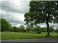
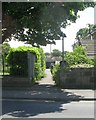
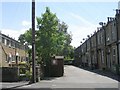
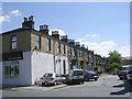
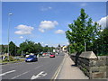
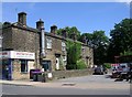
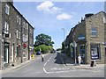
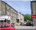
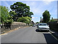
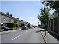
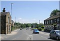
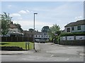
100 photos from this area
Area Information
Key information about the LS20 8BE including its size, population, and administrative classification.
- Area Type
- Postcode
- Area Size
- 3.5 hectares
- Population
- 1455
- Population Density
- 2616 people/km²
House Prices in LS20 8BE
87
Properties
£204,470
Average Sold Price
£46,500
Lowest Price
£420,000
Highest Price
Showing 87 properties
| Address | Type | Beds | Baths | Last Sale Price | Last Sale Date | |
|---|---|---|---|---|---|---|
| 18 Silverdale Drive, Guiseley, Leeds, LS20 8BE | Detached | 4 | 1 | £415,000 | Mar 2025 | |
| 49 Silverdale Drive, Guiseley, Leeds, LS20 8BE | house | 3 | 1 | £411,000 | Nov 2024 | |
| 91 Silverdale Drive, Guiseley, Leeds, LS20 8BE | Detached | 3 | 2 | £369,950 | Aug 2024 | |
| 65A Silverdale Drive, Guiseley, Leeds, LS20 8BE | Semi-detached | 3 | - | £220,000 | Apr 2024 | |
| 3 Silverdale Drive, Guiseley, Leeds, LS20 8BE | Semi-detached | 3 | 1 | £250,000 | Sep 2023 | |
| 13 Silverdale Drive, Guiseley, Leeds, LS20 8BE | Semi-detached | 3 | 1 | £315,000 | Jul 2023 | |
| 67 Silverdale Drive, Guiseley, Leeds, LS20 8BE | Semi-detached | 3 | 1 | £328,000 | Mar 2023 | |
| 62 Silverdale Drive, Guiseley, Leeds, LS20 8BE | Semi-detached | 3 | 2 | £320,000 | Dec 2022 | |
| 51 Silverdale Drive, Guiseley, Leeds, LS20 8BE | Retail | 4 | 2 | £420,000 | Oct 2022 | |
| 64 Silverdale Drive, Guiseley, Leeds, LS20 8BE | house | - | - | £320,000 | Mar 2022 |
Page 1 of 9
Energy Efficiency in LS20 8BE
Amenities
Schools
| Rank | School | Type | Entry gender | Ages |
|---|
Explore more schools in this area
Go to Schools tabDemographics
Household Size
Family (3-5 people)
most common
Accommodation Type
Houses
most common
Tenure
92
majority
Ethnic Group
White
most common
Religion
N/A
most common
Household Composition
N/A
most common
Age
47
median
Adults (30-64 years)
most common
Household Deprivation
N/A
with no deprivation
NS-SEC
41
in Lower managerial occupations
Explore more demographic insights in this area
Go to Demographics tabPlanning
Planning Constraints
- Flood RiskPremium
- Ramsar Wetland SitesPremium
- Area of Outstanding Natural BeautyPremium
- Protected Nature ReservePremium
- Protected WoodlandPremium