Area Overview for LS2 7PU
Photos of LS2 7PU
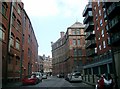
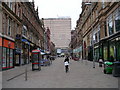
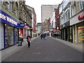
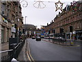
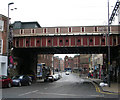
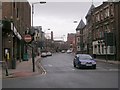
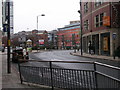
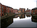
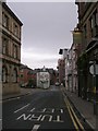
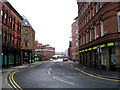
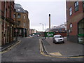
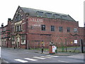
100 photos from this area
Area Information
Key information about the LS2 7PU including its size, population, and administrative classification.
- Area Type
- Postcode
- Area Size
- 6867 m²
- Population
- 2179
- Population Density
- 7791 people/km²
House Prices in LS2 7PU
13
Properties
£354,375
Average Sold Price
£350,000
Lowest Price
£360,000
Highest Price
Showing 13 properties
| Address | Type | Beds | Baths | Last Sale Price | Last Sale Date | |
|---|---|---|---|---|---|---|
| 6 Lower Brunswick Street, Sheepscar, Leeds, LS2 7PU | Retail | 3 | 2 | £352,500 | Aug 2021 | |
| 4 Lower Brunswick Street, Sheepscar, Leeds, LS2 7PU | house | - | - | £360,000 | Jul 2021 | |
| 8 Lower Brunswick Street, Sheepscar, Leeds, LS2 7PU | Terraced | 4 | 2 | £355,000 | Jun 2021 | |
| 10 Lower Brunswick Street, Sheepscar, Leeds, LS2 7PU | house | - | - | £350,000 | May 2021 | |
| 27 Lower Brunswick Street, Sheepscar, Leeds, LS2 7PU | Terraced | 3 | 3 | - | - | |
| 25 Lower Brunswick Street, Sheepscar, Leeds, LS2 7PU | house | - | - | - | - | |
| 16 Lower Brunswick Street, Sheepscar, Leeds, LS2 7PU | Office | - | - | - | - | |
| Dialekt Agency Ltd, First Floor, 14 Lower Brunswick Street, Sheepscar, Leeds, LS2 7PU | Office | - | - | - | - | |
| Brokebrain Limited, Ground Floor, 12 Lower Brunswick Street, Sheepscar, Leeds, LS2 7PU | Office | - | - | - | - | |
| Starlite Imports Ltd, Second Floor, 12 Lower Brunswick Street, Sheepscar, Leeds, LS2 7PU | Office | - | - | - | - |
Page 1 of 2
Energy Efficiency in LS2 7PU
Amenities
Schools
| Rank | School | Type | Entry gender | Ages |
|---|
Explore more schools in this area
Go to Schools tabDemographics
Household Size
One person
most common
Accommodation Type
Flats
most common
Tenure
15
majority
Ethnic Group
White
most common
Religion
N/A
most common
Household Composition
N/A
most common
Age
22
median
Adults (30-64 years)
most common
Household Deprivation
N/A
with no deprivation
NS-SEC
31
in Lower managerial occupations
Explore more demographic insights in this area
Go to Demographics tabPlanning
Planning Constraints
- Flood RiskPremium
- Ramsar Wetland SitesPremium
- Area of Outstanding Natural BeautyPremium
- Protected Nature ReservePremium
- Protected WoodlandPremium