Area Overview for LS18 5RF
Photos of LS18 5RF

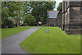
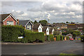

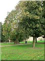
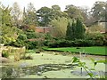

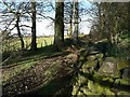
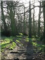
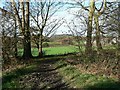
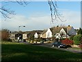
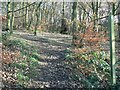
100 photos from this area
Area Information
Key information about the LS18 5RF including its size, population, and administrative classification.
- Area Type
- Postcode
- Area Size
- 13.4 hectares
- Population
- 1679
- Population Density
- 2586 people/km²
House Prices in LS18 5RF
28
Properties
£309,062
Average Sold Price
£82,500
Lowest Price
£720,000
Highest Price
Showing 28 properties
| Address | Type | Beds | Baths | Last Sale Price | Last Sale Date | |
|---|---|---|---|---|---|---|
| 9 Lee Lane East, Horsforth, Leeds, LS18 5RF | Detached | 4 | 2 | £497,500 | Oct 2021 | |
| 41 Lee Lane East, Horsforth, Leeds, LS18 5RF | Semi-detached | 3 | - | £500,000 | Mar 2021 | |
| 39 Lee Lane East, Horsforth, Leeds, LS18 5RF | house | - | - | £375,500 | Sep 2020 | |
| 29 Lee Lane East, Horsforth, Leeds, LS18 5RF | Semi-detached | 3 | 1 | £260,000 | Feb 2018 | |
| 21 Lee Lane East, Horsforth, Leeds, LS18 5RF | house | - | - | £720,000 | Oct 2016 | |
| 1A Lee Lane East, Horsforth, Leeds, LS18 5RF | Detached | - | - | £360,000 | Jul 2015 | |
| 3 Lee Lane East, Horsforth, Leeds, LS18 5RF | Semi-detached | 3 | - | £313,615 | Dec 2013 | |
| 37 Lee Lane East, Horsforth, Leeds, LS18 5RF | house | - | - | £260,000 | May 2013 | |
| 35 Lee Lane East, Horsforth, Leeds, LS18 5RF | Semi-detached | 3 | 1 | £249,000 | Nov 2011 | |
| 15 Lee Lane East, Horsforth, Leeds, LS18 5RF | house | - | - | £250,000 | Mar 2009 |
Page 1 of 3
Energy Efficiency in LS18 5RF
Amenities
Schools
| Rank | School | Type | Entry gender | Ages |
|---|
Explore more schools in this area
Go to Schools tabDemographics
Household Size
Two person
most common
Accommodation Type
Houses
most common
Tenure
70
majority
Ethnic Group
White
most common
Religion
N/A
most common
Household Composition
N/A
most common
Age
47
median
Adults (30-64 years)
most common
Household Deprivation
N/A
with no deprivation
NS-SEC
48
in Lower managerial occupations
Explore more demographic insights in this area
Go to Demographics tabPlanning
Planning Constraints
- Flood RiskPremium
- Ramsar Wetland SitesPremium
- Area of Outstanding Natural BeautyPremium
- Protected Nature ReservePremium
- Protected WoodlandPremium