Area Overview for LS18 5PA
Photos of LS18 5PA
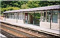
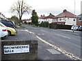
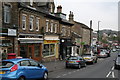
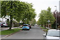
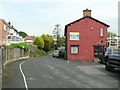
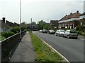
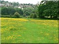
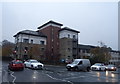
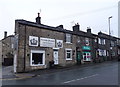
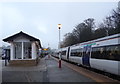
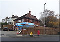
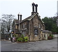
100 photos from this area
Area Information
Key information about the LS18 5PA including its size, population, and administrative classification.
- Area Type
- Postcode
- Area Size
- 6426 m²
- Population
- 1679
- Population Density
- 2586 people/km²
House Prices in LS18 5PA
23
Properties
£146,333
Average Sold Price
£75,000
Lowest Price
£255,000
Highest Price
Showing 23 properties
| Address | Type | Beds | Baths | Last Sale Price | Last Sale Date | |
|---|---|---|---|---|---|---|
| 33 Station Road, Horsforth, Leeds, LS18 5PA | Semi-detached | 3 | 1 | £255,000 | Feb 2021 | |
| 11E Station Road, Horsforth, Leeds, LS18 5PA | house | 2 | - | £109,000 | Apr 2017 | |
| 9A Station Road, Horsforth, Leeds, LS18 5PA | Flat | 2 | 1 | £75,000 | May 1995 | |
| Flat 1, 19-21 Station Road, Horsforth, Leeds, LS18 5PA | Flat | 2 | 1 | - | - | |
| Flat 8, 19-21 Station Road, Horsforth, Leeds, LS18 5PA | Flat | 2 | 1 | - | - | |
| Home Cctv Services Ltd, Room 2 First Floor, Titan House, 13 Station Road, Horsforth, Leeds, LS18 5PA | Office | - | - | - | - | |
| Heritage Insider Ltd, Room 1 First Floor, Titan House, 13 Station Road, Horsforth, Leeds, LS18 5PA | Office | - | - | - | - | |
| Flat 7, 19-21 Station Road, Horsforth, Leeds, LS18 5PA | Flat | - | - | - | - | |
| Nicholas Young Limited, Room 7 First Floor, Titan House, 13 Station Road, Horsforth, Leeds, LS18 5PA | Office | - | - | - | - | |
| Unit 2 First Floor, 11A Station Road, Horsforth, Leeds, LS18 5PA | Office | - | - | - | - |
Page 1 of 3
Energy Efficiency in LS18 5PA
Amenities
Schools
| Rank | School | Type | Entry gender | Ages |
|---|
Explore more schools in this area
Go to Schools tabDemographics
Household Size
Two person
most common
Accommodation Type
Houses
most common
Tenure
70
majority
Ethnic Group
White
most common
Religion
N/A
most common
Household Composition
N/A
most common
Age
47
median
Adults (30-64 years)
most common
Household Deprivation
N/A
with no deprivation
NS-SEC
48
in Lower managerial occupations
Explore more demographic insights in this area
Go to Demographics tabPlanning
Planning Constraints
- Flood RiskPremium
- Ramsar Wetland SitesPremium
- Area of Outstanding Natural BeautyPremium
- Protected Nature ReservePremium
- Protected WoodlandPremium