Area Overview for LS18 5JN
Photos of LS18 5JN
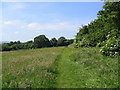
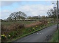


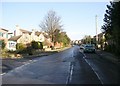
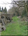
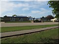

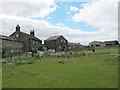
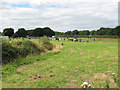
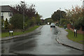
100 photos from this area
Area Information
Key information about the LS18 5JN including its size, population, and administrative classification.
- Area Type
- Postcode
- Area Size
- 1.8 hectares
- Population
- 1564
- Population Density
- 2137 people/km²
House Prices in LS18 5JN
23
Properties
£373,591
Average Sold Price
£112,500
Lowest Price
£690,000
Highest Price
Showing 23 properties
| Address | Type | Beds | Baths | Last Sale Price | Last Sale Date | |
|---|---|---|---|---|---|---|
| 28 West End Close, Horsforth, Leeds, LS18 5JN | Detached | 5 | 3 | £690,000 | Oct 2020 | |
| 16 West End Close, Horsforth, Leeds, LS18 5JN | Semi-detached | 3 | 1 | £361,500 | Apr 2019 | |
| 18 West End Close, Horsforth, Leeds, LS18 5JN | Semi-detached | 3 | 1 | £370,000 | May 2018 | |
| 20 West End Close, Horsforth, Leeds, LS18 5JN | house | - | - | £425,000 | Aug 2017 | |
| 5 West End Close, Horsforth, Leeds, LS18 5JN | house | - | - | £450,000 | Aug 2017 | |
| 22 West End Close, Horsforth, Leeds, LS18 5JN | Detached | 4 | - | £583,000 | Oct 2016 | |
| 1 West End Close, Horsforth, Leeds, LS18 5JN | Detached | 4 | - | £475,000 | Jan 2015 | |
| 26 West End Close, Horsforth, Leeds, LS18 5JN | Detached | 6 | 4 | £495,000 | Nov 2011 | |
| 6 West End Close, Horsforth, Leeds, LS18 5JN | house | - | - | £410,000 | Oct 2009 | |
| 7 West End Close, Horsforth, Leeds, LS18 5JN | Detached | - | - | £395,000 | Apr 2007 |
Page 1 of 3
Energy Efficiency in LS18 5JN
Amenities
Schools
| Rank | School | Type | Entry gender | Ages |
|---|
Explore more schools in this area
Go to Schools tabDemographics
Household Size
Family (3-5 people)
most common
Accommodation Type
Houses
most common
Tenure
95
majority
Ethnic Group
White
most common
Religion
N/A
most common
Household Composition
N/A
most common
Age
47
median
Adults (30-64 years)
most common
Household Deprivation
N/A
with no deprivation
NS-SEC
57
in Lower managerial occupations
Explore more demographic insights in this area
Go to Demographics tabPlanning
Planning Constraints
- Flood RiskPremium
- Ramsar Wetland SitesPremium
- Area of Outstanding Natural BeautyPremium
- Protected Nature ReservePremium
- Protected WoodlandPremium