Area Overview for LS18 4DJ
Photos of LS18 4DJ
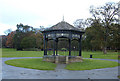
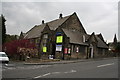
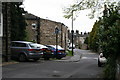
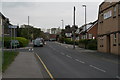
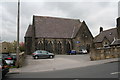
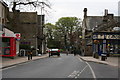
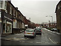
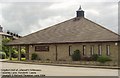
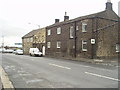
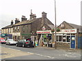
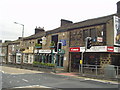
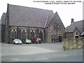
100 photos from this area
Area Information
Key information about the LS18 4DJ including its size, population, and administrative classification.
- Area Type
- Postcode
- Area Size
- 9082 m²
- Population
- 1750
- Population Density
- 4478 people/km²
House Prices in LS18 4DJ
16
Properties
£168,703
Average Sold Price
£48,500
Lowest Price
£274,880
Highest Price
Showing 16 properties
| Address | Type | Beds | Baths | Last Sale Price | Last Sale Date | |
|---|---|---|---|---|---|---|
| 34 Parkside, Horsforth, Leeds, LS18 4DJ | Semi-detached | 2 | 2 | £208,000 | Apr 2025 | |
| 26 Parkside, Horsforth, Leeds, LS18 4DJ | Terraced | 2 | 2 | £218,500 | Oct 2023 | |
| 28A Parkside, Horsforth, Leeds, LS18 4DJ | Terraced | 2 | 1 | £185,000 | Jan 2022 | |
| 30 Parkside, Horsforth, Leeds, LS18 4DJ | Terraced | 2 | 1 | £170,000 | Oct 2021 | |
| 38 Parkside, Horsforth, Leeds, LS18 4DJ | Semi-detached | 3 | 1 | £274,880 | May 2021 | |
| 32 Parkside, Horsforth, Leeds, LS18 4DJ | Terraced | 1 | 2 | £143,000 | Aug 2018 | |
| 42A Parkside, Horsforth, Leeds, LS18 4DJ | Terraced | 1 | 1 | £157,950 | Jan 2016 | |
| 40 Parkside, Horsforth, Leeds, LS18 4DJ | Semi-detached | 2 | 1 | £147,650 | Feb 2015 | |
| 26A Parkside, Horsforth, Leeds, LS18 4DJ | Terraced | 2 | 1 | £140,000 | Oct 2006 | |
| 36 Parkside, Horsforth, Leeds, LS18 4DJ | Terraced | 2 | 2 | £176,950 | May 2006 |
Page 1 of 2
Energy Efficiency in LS18 4DJ
Amenities
Schools
| Rank | School | Type | Entry gender | Ages |
|---|
Explore more schools in this area
Go to Schools tabDemographics
Household Size
One person
most common
Accommodation Type
Houses
most common
Tenure
55
majority
Ethnic Group
White
most common
Religion
N/A
most common
Household Composition
N/A
most common
Age
47
median
Adults (30-64 years)
most common
Household Deprivation
N/A
with no deprivation
NS-SEC
46
in Lower managerial occupations
Explore more demographic insights in this area
Go to Demographics tabPlanning
Planning Constraints
- Flood RiskPremium
- Ramsar Wetland SitesPremium
- Area of Outstanding Natural BeautyPremium
- Protected Nature ReservePremium
- Protected WoodlandPremium