Area Overview for LS17 5LE
Photos of LS17 5LE

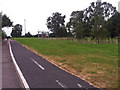
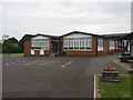
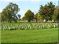
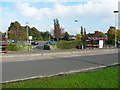
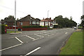
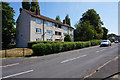
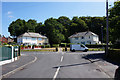
100 photos from this area
Area Information
Key information about the LS17 5LE including its size, population, and administrative classification.
- Area Type
- Postcode
- Area Size
- 9269 m²
- Population
- 1474
- Population Density
- 2975 people/km²
House Prices in LS17 5LE
24
Properties
£121,625
Average Sold Price
£53,000
Lowest Price
£185,000
Highest Price
Showing 24 properties
| Address | Type | Beds | Baths | Last Sale Price | Last Sale Date | |
|---|---|---|---|---|---|---|
| 15 Cranmer Bank, Moortown, Leeds, LS17 5LE | Semi-detached | 2 | 1 | £185,000 | Apr 2023 | |
| 27 Cranmer Bank, Moortown, Leeds, LS17 5LE | Maisonette | - | - | £105,000 | Sep 2021 | |
| 19 Cranmer Bank, Moortown, Leeds, LS17 5LE | Semi-detached | 2 | - | £125,000 | May 2018 | |
| 17 Cranmer Bank, Moortown, Leeds, LS17 5LE | Semi-detached | 2 | 2 | £155,000 | Oct 2017 | |
| 19A Cranmer Bank, Moortown, Leeds, LS17 5LE | Semi-detached | 2 | - | £125,000 | Nov 2016 | |
| 1 Cranmer Bank, Moortown, Leeds, LS17 5LE | Semi-detached | 3 | 1 | £164,000 | May 2016 | |
| 3 Cranmer Bank, Moortown, Leeds, LS17 5LE | Semi-detached | 2 | - | £61,000 | Nov 2013 | |
| 35 Cranmer Bank, Moortown, Leeds, LS17 5LE | Flat | - | - | £53,000 | Feb 2011 | |
| Cranmer Bank Community Home, 21 Cranmer Bank, Moortown, Leeds, LS17 5LE | Retail | 3 | 2 | - | - | |
| 11 Cranmer Bank, Moortown, Leeds, LS17 5LE | house | - | - | - | - |
Page 1 of 3
Energy Efficiency in LS17 5LE
Amenities
Schools
| Rank | School | Type | Entry gender | Ages |
|---|
Explore more schools in this area
Go to Schools tabDemographics
Household Size
Family (3-5 people)
most common
Accommodation Type
Houses
most common
Tenure
41
majority
Ethnic Group
White
most common
Religion
N/A
most common
Household Composition
N/A
most common
Age
47
median
Adults (30-64 years)
most common
Household Deprivation
N/A
with no deprivation
NS-SEC
21
in Lower managerial occupations
Explore more demographic insights in this area
Go to Demographics tabPlanning
Planning Constraints
- Flood RiskPremium
- Ramsar Wetland SitesPremium
- Area of Outstanding Natural BeautyPremium
- Protected Nature ReservePremium
- Protected WoodlandPremium