Area Overview for LS16 5HF
Photos of LS16 5HF
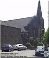
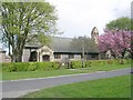
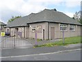
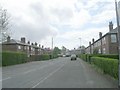
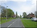
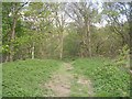
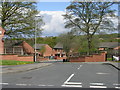
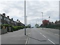
100 photos from this area
Area Information
Key information about the LS16 5HF including its size, population, and administrative classification.
- Area Type
- Postcode
- Area Size
- 2.5 hectares
- Population
- 1599
- Population Density
- 3821 people/km²
House Prices in LS16 5HF
40
Properties
£102,113
Average Sold Price
£50,950
Lowest Price
£171,000
Highest Price
Showing 40 properties
| Address | Type | Beds | Baths | Last Sale Price | Last Sale Date | |
|---|---|---|---|---|---|---|
| 135 Spen Approach, West Park, Leeds, LS16 5HF | Flat | - | - | £87,500 | Oct 2021 | |
| 94 Spen Approach, West Park, Leeds, LS16 5HF | house | - | - | £171,000 | May 2021 | |
| 91 Spen Approach, West Park, Leeds, LS16 5HF | house | - | - | £99,000 | Oct 2002 | |
| 95 Spen Approach, West Park, Leeds, LS16 5HF | Semi-detached | - | - | £50,950 | Jun 2000 | |
| 92 Spen Approach, West Park, Leeds, LS16 5HF | house | - | - | - | - | |
| 82 Spen Approach, West Park, Leeds, LS16 5HF | Semi-detached | - | - | - | - | |
| 103 Spen Approach, West Park, Leeds, LS16 5HF | Flat | - | - | - | - | |
| 133 Spen Approach, West Park, Leeds, LS16 5HF | Flat | - | - | - | - | |
| 80 Spen Approach, West Park, Leeds, LS16 5HF | Semi-detached | - | - | - | - | |
| 143 Spen Approach, West Park, Leeds, LS16 5HF | Semi-detached | - | - | - | - |
Page 1 of 4
Energy Efficiency in LS16 5HF
Amenities
Schools
| Rank | School | Type | Entry gender | Ages |
|---|
Explore more schools in this area
Go to Schools tabDemographics
Household Size
Family (3-5 people)
most common
Accommodation Type
Houses
most common
Tenure
32
majority
Ethnic Group
White
most common
Religion
N/A
most common
Household Composition
N/A
most common
Age
47
median
Adults (30-64 years)
most common
Household Deprivation
N/A
with no deprivation
NS-SEC
19
in Lower managerial occupations
Explore more demographic insights in this area
Go to Demographics tabPlanning
Planning Constraints
- Flood RiskPremium
- Ramsar Wetland SitesPremium
- Area of Outstanding Natural BeautyPremium
- Protected Nature ReservePremium
- Protected WoodlandPremium