Area Overview for LS15 8FS
Photos of LS15 8FS
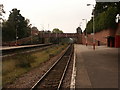

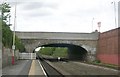
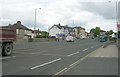
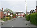
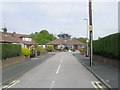


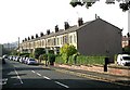
100 photos from this area
Area Information
Key information about the LS15 8FS including its size, population, and administrative classification.
- Area Type
- Postcode
- Area Size
- 1.8 hectares
- Population
- 1816
- Population Density
- 2188 people/km²
House Prices in LS15 8FS
31
Properties
£292,156
Average Sold Price
£194,995
Lowest Price
£470,000
Highest Price
Showing 31 properties
| Address | Type | Beds | Baths | Last Sale Price | Last Sale Date | |
|---|---|---|---|---|---|---|
| 23 Amelia Stewart Lane, Manston, Leeds, LS15 8FS | Detached | 4 | 3 | £440,000 | Nov 2025 | |
| 6 Amelia Stewart Lane, Manston, Leeds, LS15 8FS | Detached | 4 | 2 | £470,000 | Mar 2023 | |
| 19 Amelia Stewart Lane, Manston, Leeds, LS15 8FS | Detached | 4 | 2 | £330,000 | Nov 2020 | |
| 38 Amelia Stewart Lane, Manston, Leeds, LS15 8FS | Detached | 4 | 3 | £345,000 | May 2020 | |
| 1 Amelia Stewart Lane, Manston, Leeds, LS15 8FS | Detached | 4 | 2 | £325,000 | Feb 2020 | |
| 10 Amelia Stewart Lane, Manston, Leeds, LS15 8FS | Detached | 4 | 1 | £260,000 | Nov 2019 | |
| 15 Amelia Stewart Lane, Manston, Leeds, LS15 8FS | Detached | 4 | 1 | £305,000 | Jun 2018 | |
| 5 Amelia Stewart Lane, Manston, Leeds, LS15 8FS | house | - | - | £249,995 | Apr 2015 | |
| 9 Amelia Stewart Lane, Manston, Leeds, LS15 8FS | house | - | - | £279,995 | Jul 2014 | |
| 11 Amelia Stewart Lane, Manston, Leeds, LS15 8FS | house | - | - | £249,995 | Jun 2014 |
Page 1 of 4
Energy Efficiency in LS15 8FS
Amenities
Schools
| Rank | School | Type | Entry gender | Ages |
|---|
Explore more schools in this area
Go to Schools tabDemographics
Household Size
Two person
most common
Accommodation Type
Houses
most common
Tenure
88
majority
Ethnic Group
White
most common
Religion
N/A
most common
Household Composition
N/A
most common
Age
47
median
Adults (30-64 years)
most common
Household Deprivation
N/A
with no deprivation
NS-SEC
41
in Lower managerial occupations
Explore more demographic insights in this area
Go to Demographics tabPlanning
Planning Constraints
- Flood RiskPremium
- Ramsar Wetland SitesPremium
- Area of Outstanding Natural BeautyPremium
- Protected Nature ReservePremium
- Protected WoodlandPremium