Area Overview for LS15 7LU
Photos of LS15 7LU

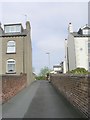
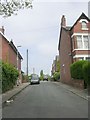
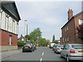
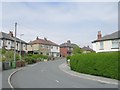
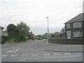
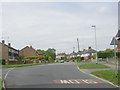
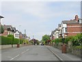
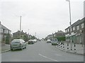
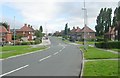

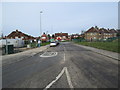
100 photos from this area
Area Information
Key information about the LS15 7LU including its size, population, and administrative classification.
- Area Type
- Postcode
- Area Size
- 9541 m²
- Population
- 1498
- Population Density
- 4401 people/km²
House Prices in LS15 7LU
27
Properties
£129,211
Average Sold Price
£38,500
Lowest Price
£205,000
Highest Price
Showing 27 properties
| Address | Type | Beds | Baths | Last Sale Price | Last Sale Date | |
|---|---|---|---|---|---|---|
| 85 Poole Crescent, Cross Gates, Leeds, LS15 7LU | Terraced | 3 | 1 | £205,000 | Feb 2025 | |
| 62 Poole Crescent, Cross Gates, Leeds, LS15 7LU | Semi-detached | 3 | 1 | £185,000 | Aug 2024 | |
| 77 Poole Crescent, Cross Gates, Leeds, LS15 7LU | Terraced | 3 | 1 | £180,000 | Apr 2024 | |
| 70 Poole Crescent, Cross Gates, Leeds, LS15 7LU | house | - | - | £168,000 | Jan 2022 | |
| 74 Poole Crescent, Cross Gates, Leeds, LS15 7LU | Semi-detached | 3 | 1 | £135,000 | Oct 2019 | |
| 84 Poole Crescent, Cross Gates, Leeds, LS15 7LU | Terraced | 3 | 1 | £127,000 | May 2019 | |
| 64 Poole Crescent, Cross Gates, Leeds, LS15 7LU | Semi-detached | 3 | 1 | £155,000 | Jan 2017 | |
| 80 Poole Crescent, Cross Gates, Leeds, LS15 7LU | Semi-detached | 3 | 1 | £117,346 | May 2016 | |
| 79 Poole Crescent, Cross Gates, Leeds, LS15 7LU | Semi-detached | 3 | - | £70,000 | Jun 2012 | |
| 72 Poole Crescent, Cross Gates, Leeds, LS15 7LU | house | - | - | £80,000 | Jul 2010 |
Page 1 of 3
Energy Efficiency in LS15 7LU
Amenities
Schools
| Rank | School | Type | Entry gender | Ages |
|---|
Explore more schools in this area
Go to Schools tabDemographics
Household Size
One person
most common
Accommodation Type
Houses
most common
Tenure
43
majority
Ethnic Group
White
most common
Religion
N/A
most common
Household Composition
N/A
most common
Age
47
median
Adults (30-64 years)
most common
Household Deprivation
N/A
with no deprivation
NS-SEC
23
in Lower managerial occupations
Explore more demographic insights in this area
Go to Demographics tabPlanning
Planning Constraints
- Flood RiskPremium
- Ramsar Wetland SitesPremium
- Area of Outstanding Natural BeautyPremium
- Protected Nature ReservePremium
- Protected WoodlandPremium