Area Overview for LS15 4AJ
Photos of LS15 4AJ
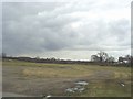
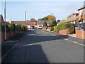
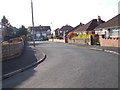
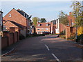
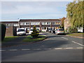
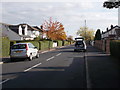
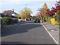
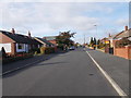
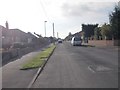
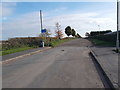
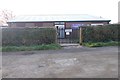
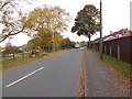
50 photos from this area
Area Information
Key information about the LS15 4AJ including its size, population, and administrative classification.
- Area Type
- Postcode
- Area Size
- 1.8 hectares
- Population
- 1430
- Population Density
- 636 people/km²
House Prices in LS15 4AJ
18
Properties
£217,814
Average Sold Price
£99,950
Lowest Price
£360,000
Highest Price
Showing 18 properties
| Address | Type | Beds | Baths | Last Sale Price | Last Sale Date | |
|---|---|---|---|---|---|---|
| 8 Rakehill Road, Scholes, Leeds, LS15 4AJ | Detached | 4 | 2 | £360,000 | Jan 2022 | |
| 34 Rakehill Road, Scholes, Leeds, LS15 4AJ | Bungalow | 3 | 2 | £230,000 | Aug 2021 | |
| 12 Rakehill Road, Scholes, Leeds, LS15 4AJ | Semi-detached | 3 | 2 | £215,000 | Oct 2018 | |
| 30 Rakehill Road, Scholes, Leeds, LS15 4AJ | Bungalow | 3 | - | £250,000 | Sep 2013 | |
| 6 Rakehill Road, Scholes, Leeds, LS15 4AJ | Detached | - | - | £305,000 | Aug 2007 | |
| 22 Rakehill Road, Scholes, Leeds, LS15 4AJ | Detached | - | - | £285,000 | Sep 2006 | |
| 36 Rakehill Road, Scholes, Leeds, LS15 4AJ | Bungalow | - | - | £190,000 | Jan 2004 | |
| 26 Rakehill Road, Scholes, Leeds, LS15 4AJ | Detached | - | - | £212,000 | Dec 2003 | |
| 14 Rakehill Road, Scholes, Leeds, LS15 4AJ | house | - | - | £99,950 | Sep 2000 | |
| 24 Rakehill Road, Scholes, Leeds, LS15 4AJ | Detached | - | - | £144,000 | Jul 1998 |
Page 1 of 2
Energy Efficiency in LS15 4AJ
Amenities
Schools
| Rank | School | Type | Entry gender | Ages |
|---|
Explore more schools in this area
Go to Schools tabDemographics
Household Size
Two person
most common
Accommodation Type
Houses
most common
Tenure
86
majority
Ethnic Group
White
most common
Religion
N/A
most common
Household Composition
N/A
most common
Age
47
median
Adults (30-64 years)
most common
Household Deprivation
N/A
with no deprivation
NS-SEC
41
in Lower managerial occupations
Explore more demographic insights in this area
Go to Demographics tabPlanning
Planning Constraints
- Flood RiskPremium
- Ramsar Wetland SitesPremium
- Area of Outstanding Natural BeautyPremium
- Protected Nature ReservePremium
- Protected WoodlandPremium