Area Overview for LS14 6JN
Photos of LS14 6JN
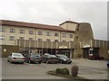
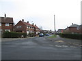
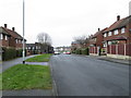
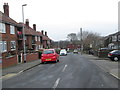
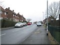
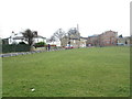
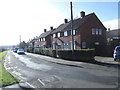
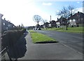
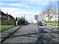
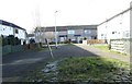
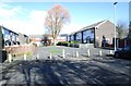
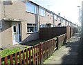
100 photos from this area
Area Information
Key information about the LS14 6JN including its size, population, and administrative classification.
- Area Type
- Postcode
- Area Size
- 1.1 hectares
- Population
- 1323
- Population Density
- 4618 people/km²
House Prices in LS14 6JN
8
Properties
£189,250
Average Sold Price
£84,000
Lowest Price
£340,000
Highest Price
Showing 8 properties
| Address | Type | Beds | Baths | Last Sale Price | Last Sale Date | |
|---|---|---|---|---|---|---|
| 43 The Green, Seacroft, Leeds, LS14 6JN | house | - | - | £163,000 | Dec 2024 | |
| 51 The Green, Seacroft, Leeds, LS14 6JN | house | 3 | 2 | £330,000 | Jan 2023 | |
| 45 The Green, Seacroft, Leeds, LS14 6JN | Retail | 3 | 1 | £237,000 | May 2022 | |
| Mayfield Farm, 69 The Green, Seacroft, Leeds, LS14 6JN | house | - | - | £340,000 | Jun 2021 | |
| 85 The Green, Seacroft, Leeds, LS14 6JN | Detached | 3 | 2 | £84,000 | Sep 2014 | |
| 83 The Green, Seacroft, Leeds, LS14 6JN | Land | - | - | £120,000 | Dec 2012 | |
| 87 The Green, Seacroft, Leeds, LS14 6JN | Detached | - | - | £115,000 | Dec 2003 | |
| 49 The Green, Seacroft, Leeds, LS14 6JN | Detached | - | - | £125,000 | Aug 2003 |
Energy Efficiency in LS14 6JN
Amenities
Schools
| Rank | School | Type | Entry gender | Ages |
|---|
Explore more schools in this area
Go to Schools tabDemographics
Household Size
One person
most common
Accommodation Type
Houses
most common
Tenure
52
majority
Ethnic Group
White
most common
Religion
N/A
most common
Household Composition
N/A
most common
Age
47
median
Adults (30-64 years)
most common
Household Deprivation
N/A
with no deprivation
NS-SEC
20
in Lower managerial occupations
Explore more demographic insights in this area
Go to Demographics tabPlanning
Planning Constraints
- Flood RiskPremium
- Ramsar Wetland SitesPremium
- Area of Outstanding Natural BeautyPremium
- Protected Nature ReservePremium
- Protected WoodlandPremium