Area Overview for LS13 1LH
Photos of LS13 1LH
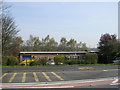
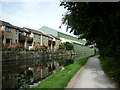
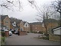
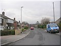
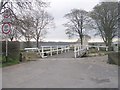
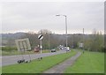
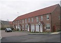
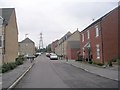
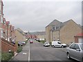
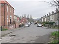
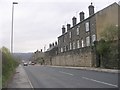
100 photos from this area
Area Information
Key information about the LS13 1LH including its size, population, and administrative classification.
- Area Type
- Postcode
- Area Size
- 7867 m²
- Population
- 1637
- Population Density
- 2666 people/km²
House Prices in LS13 1LH
38
Properties
£204,505
Average Sold Price
£52,500
Lowest Price
£362,500
Highest Price
Showing 38 properties
| Address | Type | Beds | Baths | Last Sale Price | Last Sale Date | |
|---|---|---|---|---|---|---|
| 21 Oaklands Avenue, Rodley, Leeds, LS13 1LH | Terraced | 3 | 1 | £271,000 | Jun 2025 | |
| 7 Oaklands Avenue, Rodley, Leeds, LS13 1LH | Terraced | 4 | 2 | £362,500 | Apr 2025 | |
| 3 Oaklands Avenue, Rodley, Leeds, LS13 1LH | Terraced | 3 | 1 | £255,000 | Dec 2024 | |
| 10 Oaklands Avenue, Rodley, Leeds, LS13 1LH | Terraced | 2 | 1 | £268,750 | Aug 2024 | |
| 4 Oaklands Avenue, Rodley, Leeds, LS13 1LH | Terraced | 3 | 1 | £273,000 | Oct 2023 | |
| 25 Oaklands Avenue, Rodley, Leeds, LS13 1LH | Terraced | 3 | 1 | £281,000 | Jan 2022 | |
| 1 Oaklands Avenue, Rodley, Leeds, LS13 1LH | house | - | - | £274,999 | Oct 2021 | |
| 16 Oaklands Avenue, Rodley, Leeds, LS13 1LH | Terraced | 3 | 1 | £229,000 | May 2021 | |
| 17 Oaklands Avenue, Rodley, Leeds, LS13 1LH | house | 3 | - | £247,000 | Aug 2020 | |
| 15 Oaklands Avenue, Rodley, Leeds, LS13 1LH | Terraced | 3 | 1 | £237,500 | Oct 2019 |
Page 1 of 4
Energy Efficiency in LS13 1LH
Amenities
Schools
| Rank | School | Type | Entry gender | Ages |
|---|
Explore more schools in this area
Go to Schools tabDemographics
Household Size
Two person
most common
Accommodation Type
Houses
most common
Tenure
71
majority
Ethnic Group
White
most common
Religion
N/A
most common
Household Composition
N/A
most common
Age
47
median
Adults (30-64 years)
most common
Household Deprivation
N/A
with no deprivation
NS-SEC
50
in Lower managerial occupations
Explore more demographic insights in this area
Go to Demographics tabPlanning
Planning Constraints
- Flood RiskPremium
- Ramsar Wetland SitesPremium
- Area of Outstanding Natural BeautyPremium
- Protected Nature ReservePremium
- Protected WoodlandPremium