Area Overview for LS12 5EF
Photos of LS12 5EF
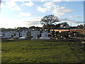
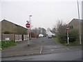
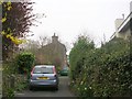
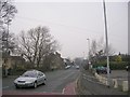
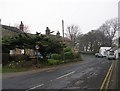
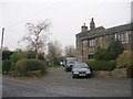
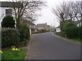
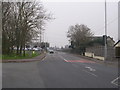
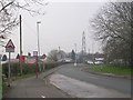
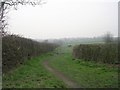
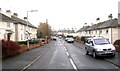
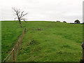
80 photos from this area
Area Information
Key information about the LS12 5EF including its size, population, and administrative classification.
- Area Type
- Postcode
- Area Size
- 2.2 hectares
- Population
- 1384
- Population Density
- 478 people/km²
House Prices in LS12 5EF
47
Properties
£129,867
Average Sold Price
£44,500
Lowest Price
£280,000
Highest Price
Showing 47 properties
| Address | Type | Beds | Baths | Last Sale Price | Last Sale Date | |
|---|---|---|---|---|---|---|
| 78 Castle Ings Gardens, New Farnley, Leeds, LS12 5EF | Semi-detached | 2 | 1 | £235,000 | Jul 2025 | |
| 54 Castle Ings Gardens, New Farnley, Leeds, LS12 5EF | Semi-detached | 3 | 2 | £270,000 | Jun 2025 | |
| 45 Castle Ings Gardens, New Farnley, Leeds, LS12 5EF | Semi-detached | 4 | 2 | £280,000 | Mar 2024 | |
| 25 Castle Ings Gardens, New Farnley, Leeds, LS12 5EF | Semi-detached | 3 | 2 | £222,000 | Jun 2022 | |
| 104 Castle Ings Gardens, New Farnley, Leeds, LS12 5EF | Bungalow | - | - | £156,000 | Nov 2021 | |
| 48 Castle Ings Gardens, New Farnley, Leeds, LS12 5EF | Bungalow | - | - | £163,000 | Jul 2021 | |
| 39 Castle Ings Gardens, New Farnley, Leeds, LS12 5EF | house | - | - | £165,000 | Jun 2021 | |
| 31 Castle Ings Gardens, New Farnley, Leeds, LS12 5EF | Semi-detached | 2 | 1 | £148,000 | Nov 2020 | |
| 35 Castle Ings Gardens, New Farnley, Leeds, LS12 5EF | Bungalow | 2 | 1 | £130,000 | Apr 2019 | |
| 90 Castle Ings Gardens, New Farnley, Leeds, LS12 5EF | Bungalow | 2 | - | £149,995 | Nov 2017 |
Page 1 of 5
Energy Efficiency in LS12 5EF
Amenities
Schools
| Rank | School | Type | Entry gender | Ages |
|---|
Explore more schools in this area
Go to Schools tabDemographics
Household Size
Two person
most common
Accommodation Type
Houses
most common
Tenure
83
majority
Ethnic Group
White
most common
Religion
N/A
most common
Household Composition
N/A
most common
Age
47
median
Adults (30-64 years)
most common
Household Deprivation
N/A
with no deprivation
NS-SEC
31
in Lower managerial occupations
Explore more demographic insights in this area
Go to Demographics tabPlanning
Planning Constraints
- Flood RiskPremium
- Ramsar Wetland SitesPremium
- Area of Outstanding Natural BeautyPremium
- Protected Nature ReservePremium
- Protected WoodlandPremium