Area Overview for LS12 3NP
Photos of LS12 3NP
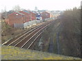
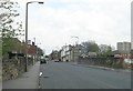
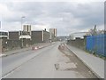
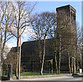
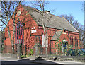
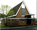
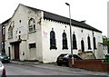
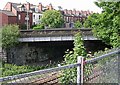
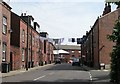
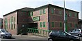
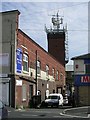
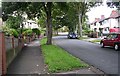
100 photos from this area
Area Information
Key information about the LS12 3NP including its size, population, and administrative classification.
- Area Type
- Postcode
- Area Size
- 7185 m²
- Population
- 1116
- Population Density
- 7665 people/km²
House Prices in LS12 3NP
67
Properties
£127,192
Average Sold Price
£20,305
Lowest Price
£190,000
Highest Price
Showing 67 properties
| Address | Type | Beds | Baths | Last Sale Price | Last Sale Date | |
|---|---|---|---|---|---|---|
| 32 Armley Ridge Road, Armley, Leeds, LS12 3NP | Terraced | 1 | 1 | £190,000 | Aug 2019 | |
| 74 Armley Ridge Road, Armley, Leeds, LS12 3NP | Terraced | 5 | 3 | £177,995 | May 2019 | |
| 22 Armley Ridge Road, Armley, Leeds, LS12 3NP | Terraced | 4 | - | £165,000 | Sep 2018 | |
| 8 Armley Ridge Road, Armley, Leeds, LS12 3NP | house | - | - | £120,000 | May 2016 | |
| 4 Armley Ridge Road, Armley, Leeds, LS12 3NP | Terraced | 4 | 1 | £105,000 | Jan 2015 | |
| 40 Armley Ridge Road, Armley, Leeds, LS12 3NP | house | - | - | £106,000 | May 2013 | |
| 26 Armley Ridge Road, Armley, Leeds, LS12 3NP | house | 1 | - | £102,500 | Dec 2012 | |
| 48 Armley Ridge Road, Armley, Leeds, LS12 3NP | house | 4 | - | £112,500 | Jul 2011 | |
| 20 Armley Ridge Road, Armley, Leeds, LS12 3NP | house | 3 | - | £122,000 | Jun 2010 | |
| 28 Armley Ridge Road, Armley, Leeds, LS12 3NP | Terraced | - | - | £20,305 | Mar 2008 |
Page 1 of 7
Energy Efficiency in LS12 3NP
Amenities
Schools
| Rank | School | Type | Entry gender | Ages |
|---|
Explore more schools in this area
Go to Schools tabDemographics
Household Size
One person
most common
Accommodation Type
Houses
most common
Tenure
54
majority
Ethnic Group
White
most common
Religion
N/A
most common
Household Composition
N/A
most common
Age
47
median
Adults (30-64 years)
most common
Household Deprivation
N/A
with no deprivation
NS-SEC
27
in Lower managerial occupations
Explore more demographic insights in this area
Go to Demographics tabPlanning
Planning Constraints
- Flood RiskPremium
- Ramsar Wetland SitesPremium
- Area of Outstanding Natural BeautyPremium
- Protected Nature ReservePremium
- Protected WoodlandPremium