Area Overview for LS12 3JD
Photos of LS12 3JD
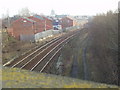
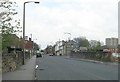
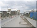
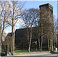
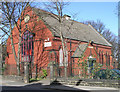
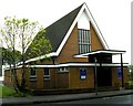
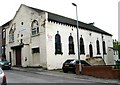
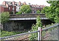
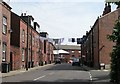
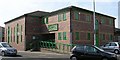
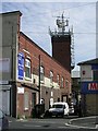
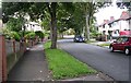
100 photos from this area
Area Information
Key information about the LS12 3JD including its size, population, and administrative classification.
- Area Type
- Postcode
- Area Size
- 3587 m²
- Population
- 1273
- Population Density
- 5243 people/km²
House Prices in LS12 3JD
17
Properties
£85,915
Average Sold Price
£45,500
Lowest Price
£130,000
Highest Price
Showing 17 properties
| Address | Type | Beds | Baths | Last Sale Price | Last Sale Date | |
|---|---|---|---|---|---|---|
| 12 Thornton Avenue, Armley, Leeds, LS12 3JD | Terraced | 3 | 1 | £130,000 | Jun 2023 | |
| 8 Thornton Avenue, Armley, Leeds, LS12 3JD | house | - | - | £105,000 | Jul 2021 | |
| 16 Thornton Avenue, Armley, Leeds, LS12 3JD | Semi-detached | 3 | 1 | £99,000 | Dec 2019 | |
| 4 Thornton Avenue, Armley, Leeds, LS12 3JD | Terraced | 3 | 1 | £115,000 | Dec 2019 | |
| 13 Thornton Avenue, Armley, Leeds, LS12 3JD | Terraced | 2 | 1 | £80,000 | Oct 2017 | |
| 6 Thornton Avenue, Armley, Leeds, LS12 3JD | Terraced | 3 | 1 | £68,000 | Sep 2013 | |
| 11 Thornton Avenue, Armley, Leeds, LS12 3JD | house | 2 | - | £65,700 | Feb 2012 | |
| 18 Thornton Avenue, Armley, Leeds, LS12 3JD | house | 3 | - | £96,000 | Jun 2005 | |
| 10 Thornton Avenue, Armley, Leeds, LS12 3JD | house | 3 | 1 | £54,950 | Aug 2002 | |
| 20 Thornton Avenue, Armley, Leeds, LS12 3JD | Terraced | - | - | £45,500 | Jul 1997 |
Page 1 of 2
Energy Efficiency in LS12 3JD
Amenities
Schools
| Rank | School | Type | Entry gender | Ages |
|---|
Explore more schools in this area
Go to Schools tabDemographics
Household Size
One person
most common
Accommodation Type
Houses
most common
Tenure
34
majority
Ethnic Group
White
most common
Religion
N/A
most common
Household Composition
N/A
most common
Age
47
median
Adults (30-64 years)
most common
Household Deprivation
N/A
with no deprivation
NS-SEC
25
in Lower managerial occupations
Explore more demographic insights in this area
Go to Demographics tabPlanning
Planning Constraints
- Flood RiskPremium
- Ramsar Wetland SitesPremium
- Area of Outstanding Natural BeautyPremium
- Protected Nature ReservePremium
- Protected WoodlandPremium