Area Overview for LS10 4GG
Photos of LS10 4GG
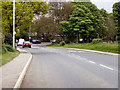
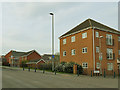
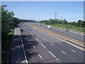
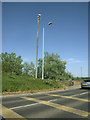
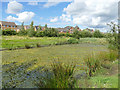
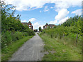
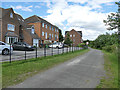
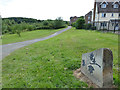
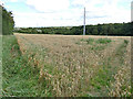
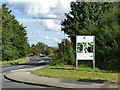
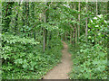
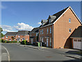
77 photos from this area
Area Information
Key information about the LS10 4GG including its size, population, and administrative classification.
- Area Type
- Postcode
- Area Size
- 1.9 hectares
- Population
- 1487
- Population Density
- 4707 people/km²
House Prices in LS10 4GG
68
Properties
£211,555
Average Sold Price
£57,500
Lowest Price
£429,995
Highest Price
Showing 68 properties
| Address | Type | Beds | Baths | Last Sale Price | Last Sale Date | |
|---|---|---|---|---|---|---|
| 50 Blenkinsop Way, Middleton, Leeds, LS10 4GG | Terraced | 4 | 3 | £310,000 | Jun 2025 | |
| 65 Blenkinsop Way, Middleton, Leeds, LS10 4GG | Semi-detached | 3 | 3 | £300,000 | Apr 2025 | |
| 54 Blenkinsop Way, Middleton, Leeds, LS10 4GG | Semi-detached | 3 | 3 | £250,000 | Feb 2025 | |
| 43 Blenkinsop Way, Middleton, Leeds, LS10 4GG | Detached | 4 | 1 | £429,995 | Jan 2025 | |
| 24 Blenkinsop Way, Middleton, Leeds, LS10 4GG | Semi-detached | 5 | 2 | £295,000 | Mar 2024 | |
| 32 Blenkinsop Way, Middleton, Leeds, LS10 4GG | Detached | 5 | 3 | £415,000 | Mar 2024 | |
| 52 Blenkinsop Way, Middleton, Leeds, LS10 4GG | house | 2 | 1 | £147,500 | Mar 2024 | |
| 35 Blenkinsop Way, Middleton, Leeds, LS10 4GG | Detached | 4 | 3 | £342,000 | Dec 2023 | |
| 30 Blenkinsop Way, Middleton, Leeds, LS10 4GG | Semi-detached | 4 | 3 | £250,000 | Jul 2023 | |
| 63 Blenkinsop Way, Middleton, Leeds, LS10 4GG | Terraced | 3 | 3 | £255,000 | Mar 2023 |
Page 1 of 7
Energy Efficiency in LS10 4GG
Amenities
Schools
| Rank | School | Type | Entry gender | Ages |
|---|
Explore more schools in this area
Go to Schools tabDemographics
Household Size
One person
most common
Accommodation Type
Houses
most common
Tenure
72
majority
Ethnic Group
White
most common
Religion
N/A
most common
Household Composition
N/A
most common
Age
47
median
Adults (30-64 years)
most common
Household Deprivation
N/A
with no deprivation
NS-SEC
42
in Lower managerial occupations
Explore more demographic insights in this area
Go to Demographics tabPlanning
Planning Constraints
- Flood RiskPremium
- Ramsar Wetland SitesPremium
- Area of Outstanding Natural BeautyPremium
- Protected Nature ReservePremium
- Protected WoodlandPremium