Area Overview for LS10 3RL
Photos of LS10 3RL
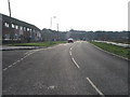
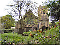
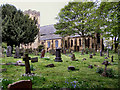
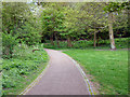
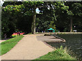
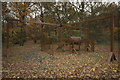
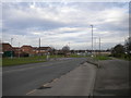
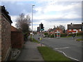
100 photos from this area
Area Information
Key information about the LS10 3RL including its size, population, and administrative classification.
- Area Type
- Postcode
- Area Size
- 2.9 hectares
- Population
- 1610
- Population Density
- 1119 people/km²
House Prices in LS10 3RL
40
Properties
£89,458
Average Sold Price
£48,500
Lowest Price
£160,000
Highest Price
Showing 40 properties
| Address | Type | Beds | Baths | Last Sale Price | Last Sale Date | |
|---|---|---|---|---|---|---|
| 2 Manor Farm Green, Middleton, Leeds, LS10 3RL | house | 3 | 1 | £150,000 | Dec 2024 | |
| 6 Manor Farm Green, Middleton, Leeds, LS10 3RL | Terraced | 3 | 1 | £160,000 | May 2024 | |
| 8 Manor Farm Green, Middleton, Leeds, LS10 3RL | house | - | - | £120,000 | Jul 2022 | |
| 47 Manor Farm Green, Middleton, Leeds, LS10 3RL | house | - | - | £95,000 | Jul 2021 | |
| 12 Manor Farm Green, Middleton, Leeds, LS10 3RL | Terraced | 3 | 1 | £90,000 | Oct 2018 | |
| 28 Manor Farm Green, Middleton, Leeds, LS10 3RL | house | 2 | 1 | £68,000 | Sep 2017 | |
| 7 Manor Farm Green, Middleton, Leeds, LS10 3RL | house | - | - | £52,000 | Jul 2014 | |
| 11 Manor Farm Green, Middleton, Leeds, LS10 3RL | house | 3 | - | £65,000 | Mar 2014 | |
| 25 Manor Farm Green, Middleton, Leeds, LS10 3RL | house | 3 | - | £68,000 | Jul 2011 | |
| 3 Manor Farm Green, Middleton, Leeds, LS10 3RL | Terraced | - | - | £85,000 | Dec 2007 |
Page 1 of 4
Energy Efficiency in LS10 3RL
Amenities
Schools
| Rank | School | Type | Entry gender | Ages |
|---|
Explore more schools in this area
Go to Schools tabDemographics
Household Size
Family (3-5 people)
most common
Accommodation Type
Houses
most common
Tenure
41
majority
Ethnic Group
White
most common
Religion
N/A
most common
Household Composition
N/A
most common
Age
47
median
Adults (30-64 years)
most common
Household Deprivation
N/A
with no deprivation
NS-SEC
17
in Lower managerial occupations
Explore more demographic insights in this area
Go to Demographics tabPlanning
Planning Constraints
- Flood RiskPremium
- Ramsar Wetland SitesPremium
- Area of Outstanding Natural BeautyPremium
- Protected Nature ReservePremium
- Protected WoodlandPremium