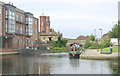
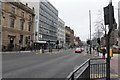
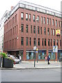
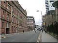
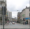
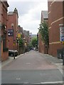
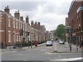
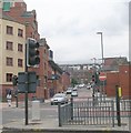
Area Overview for LS1 2HE
Photos of LS1 2HE


Area Information
LS1 2HE is a small residential postcode area in England, home to just over 2,000 people. It is a compact cluster of properties, likely centred around local amenities and transport links. The area’s youthful demographic—median age 22—suggests a community of students, young professionals, or those starting families. Living here means proximity to retail hubs like Tesco St Pauls and M&S Leeds, as well as railway stations such as Leeds and Burley Park. Daily life is shaped by convenience, with shops, transport, and work opportunities within easy reach. The area’s small size means a tight-knit feel, though the high proportion of flats indicates a rental market with limited owner-occupied homes. For buyers, this postcode offers a snapshot of urban living in a region with strong connectivity but requires careful consideration of safety and long-term suitability.
- Area Type
- Postcode
- Area Size
- Not available
- Population
- Not available
- Population Density
- Not available
LS1 2HE is a rental-dominated area, with only 19% of residents owning their homes. The accommodation type is predominantly flats, reflecting a housing stock suited to urban living and shared spaces. This suggests limited availability of owner-occupied properties, particularly for buyers seeking long-term investment. The small postcode area means the property market is tightly focused, with limited scope for expansion or development. For buyers, this presents challenges: competition for flats may be high, and the area’s youthful demographic could mean fluctuating demand. Proximity to major transport hubs like Leeds Railway Station adds value, but the high proportion of rentals means buyers must consider whether the area aligns with their long-term housing needs.
House Prices in LS1 2HE
No properties found in this postcode.
Energy Efficiency in LS1 2HE
Living in LS1 2HE means access to major retail outlets such as Tesco St Pauls, M&S Leeds, and Tesco Leeds, all within practical reach. These stores cater to daily needs, from groceries to clothing. The area’s proximity to multiple railway stations, including Burley Park and Headingley, enhances convenience for commuters and shoppers. While there is no data on parks or leisure facilities, the retail and transport infrastructure suggests a lifestyle focused on accessibility and urban convenience. The presence of multiple rail options also supports social and professional connectivity, making it suitable for those who value ease of movement over expansive green spaces.
Amenities
Schools
| Rank | School | Type | Entry gender | Ages |
|---|
Explore more schools in this area
Go to Schools tabDemographics
The population of LS1 2HE is predominantly young adults, with 15–29-year-olds making up the most common age group. This reflects a community likely centred on education, employment, or early career development. Home ownership is low at 19%, suggesting most residents rent their flats, which are the primary accommodation type. The predominant ethnic group is White, though no data is provided on diversity beyond this. The median age of 22 indicates a transient population, possibly influenced by nearby universities or job markets. This age profile shapes the area’s character, with amenities and services tailored to younger demographics. The low home ownership rate also implies a rental market where long-term stability may be less common.
Household Size
Accommodation Type
Tenure
Ethnic Group
Religion
Household Composition
Age
Household Deprivation
NS-SEC
Explore more demographic insights in this area
Go to Demographics tabPlanning
Planning Constraints
- Flood RiskPremium
- Ramsar Wetland SitesPremium
- Area of Outstanding Natural BeautyPremium
- Protected Nature ReservePremium
- Protected WoodlandPremium