Area Overview for South Killingholme
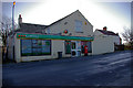
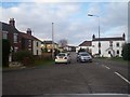
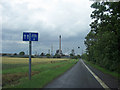
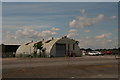
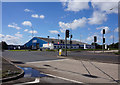
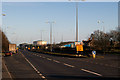
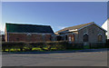
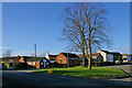
Photos of South Killingholme
Area Information
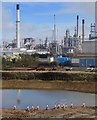
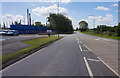
South Killingholme is a civil parish covering an area of just 12.0 km². It is a small community where you might find your neighbours just steps away. The location sits within the East Riding of Yorkshire, offering a compact living environment. You will experience a neighbourhood defined by its quiet nature and distinct local character. Living in South Killingholme means embracing a lifestyle away from the busy fast-paced towns further south. The area is small enough that you can explore most of it on foot or by local cycle routes. There are no large commercial centres within the parish boundaries, so you likely plan your shopping trips for nearby towns. The landscape is shaped by the specific geography of the parish which influences daily life. You move through a space where the boundaries between rural and residential settings blend together. This creates a homely atmosphere where the community feels tight-knit and familiar.
- Area Type
- Parish
- Area Size
- 12.0 km²
- Population
- Not available
- Population Density
- Not available
Demographics
The community profile of South Killingholme shows a distinct demographic pattern. The resident population has a median age of 70 years. This indicates a settlement largely populated by older adults who have called home here for decades. You will find that the dominant age group aligns with this older demographic profile. With 68% of residents owning their homes, the area stands as a classic owner-occupied community. This ownership rate suggests stability and deep roots within the local population. The household composition reflects families and individuals who value long-term stability in their living arrangements. You do not encounter high levels of transience or short-term rentals in this parish. The steadily ageing population means services and amenities likely cater to the needs of seniors. Understanding these statistics helps you picture the everyday interactions and community energy you would experience living in South Killingholme.
Household Size
Accommodation Type
Tenure
Ethnic Group
Religion
Household Composition
Age
Household Deprivation
NS-SEC
Explore more demographic insights in this area
Go to Demographics tabPlanning
Planning Constraints
- Flood RiskPremium
- Ramsar Wetland SitesPremium
- Area of Outstanding Natural BeautyPremium
- Protected Nature ReservePremium
- Protected WoodlandPremium