Area Overview for HX7 5TX
Photos of HX7 5TX
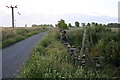
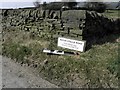

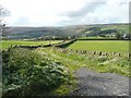
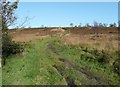
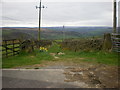
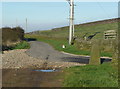
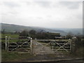
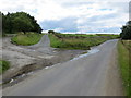
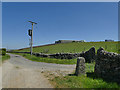
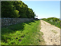
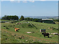
56 photos from this area
Area Information
Key information about the HX7 5TX including its size, population, and administrative classification.
- Area Type
- Postcode
- Area Size
- 1.2 km²
- Population
- 1647
- Population Density
- 78 people/km²
House Prices in HX7 5TX
23
Properties
£494,100
Average Sold Price
£12,500
Lowest Price
£1,350,000
Highest Price
Showing 23 properties
| Address | Type | Beds | Baths | Last Sale Price | Last Sale Date | |
|---|---|---|---|---|---|---|
| High Stones House, High Stones Road, Cragg Vale, Hebden Bridge, HX7 5TX | Detached | - | - | £193,000 | Feb 2023 | |
| Wood Top, Weather Hill Lane, Cragg Vale, Hebden Bridge, HX7 5TX | Farm | - | - | £1,350,000 | Sep 2022 | |
| Old House Farm Off, Coppy Nook Lane, Cragg Vale, Hebden Bridge, HX7 5TX | house | 4 | 1 | £565,000 | Dec 2019 | |
| Swatt Farm, Coppy Nook Lane, Cragg Vale, Hebden Bridge, HX7 5TX | Semi-detached | - | - | £350,000 | Jun 2008 | |
| Swatt Cottage, Coppy Nook Lane, Cragg Vale, Hebden Bridge, HX7 5TX | Semi-detached | 2 | 1 | £12,500 | Jul 1999 | |
| Weatherhill Top Farm, Weather Hill Lane, Cragg Vale, Hebden Bridge, HX7 5TX | house | 3 | 1 | - | - | |
| Swillington Farm Off, Coppy Nook Lane, Cragg Vale, Hebden Bridge, HX7 5TX | Detached | - | - | - | - | |
| The Barn, Collon Bob, High Stones Road, Cragg Vale, Hebden Bridge, HX7 5TX | house | 3 | 2 | - | - | |
| Wood Top Cottage, Weather Hill Lane, Cragg Vale, Hebden Bridge, HX7 5TX | Semi-detached | - | - | - | - | |
| Former Granny Annexe 1, Waterstalls Farm, High Stones Road, Cragg Vale, Hebden Bridge, HX7 5TX | Semi-detached | - | - | - | - |
Page 1 of 3
Energy Efficiency in HX7 5TX
Amenities
Schools
| Rank | School | Type | Entry gender | Ages |
|---|
Explore more schools in this area
Go to Schools tabDemographics
Household Size
Two person
most common
Accommodation Type
Houses
most common
Tenure
83
majority
Ethnic Group
White
most common
Religion
N/A
most common
Household Composition
N/A
most common
Age
47
median
Adults (30-64 years)
most common
Household Deprivation
N/A
with no deprivation
NS-SEC
44
in Lower managerial occupations
Explore more demographic insights in this area
Go to Demographics tabPlanning
Planning Constraints
- Flood RiskPremium
- Ramsar Wetland SitesPremium
- Area of Outstanding Natural BeautyPremium
- Protected Nature ReservePremium
- Protected WoodlandPremium