Area Overview for HX6 2TF
Photos of HX6 2TF
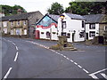

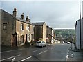
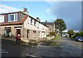

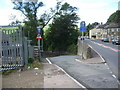
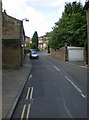
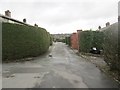
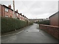
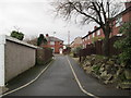
100 photos from this area
Area Information
Key information about the HX6 2TF including its size, population, and administrative classification.
- Area Type
- Postcode
- Area Size
- 3.8 hectares
- Population
- 1495
- Population Density
- 817 people/km²
House Prices in HX6 2TF
8
Properties
£232,700
Average Sold Price
£145,000
Lowest Price
£325,000
Highest Price
Showing 8 properties
| Address | Type | Beds | Baths | Last Sale Price | Last Sale Date | |
|---|---|---|---|---|---|---|
| Field House Farm, Whitty Lane, Halifax, HX6 2TF | house | - | - | £325,000 | Sep 2018 | |
| Field House Barn Cottage, Whitty Lane, Halifax, HX6 2TF | house | - | - | £145,000 | Aug 2017 | |
| Field House, Whitty Lane, Halifax, HX6 2TF | Detached | - | - | £272,500 | Jun 2017 | |
| Glen View, Burnley Road, Luddenden Foot, Sowerby Bridge, HX6 2TF | house | - | - | £186,000 | Oct 2010 | |
| Field House Barn, Whitty Lane, Halifax, HX6 2TF | Semi-detached | - | - | £235,000 | Nov 2002 | |
| Highfield, Burnley Road, Luddenden Foot, Sowerby Bridge, HX6 2TF | house | - | - | - | - | |
| Quarry House, Burnley Road, Luddenden Foot, Sowerby Bridge, HX6 2TF | Office | - | - | - | - | |
| New Works, Burnley Road, Luddenden Foot, Sowerby Bridge, HX6 2TF | general_industrial | - | - | - | - |
Energy Efficiency in HX6 2TF
Amenities
Schools
| Rank | School | Type | Entry gender | Ages |
|---|
Explore more schools in this area
Go to Schools tabDemographics
Household Size
Two person
most common
Accommodation Type
Houses
most common
Tenure
89
majority
Ethnic Group
White
most common
Religion
N/A
most common
Household Composition
N/A
most common
Age
47
median
Adults (30-64 years)
most common
Household Deprivation
N/A
with no deprivation
NS-SEC
36
in Lower managerial occupations
Explore more demographic insights in this area
Go to Demographics tabPlanning
Planning Constraints
- Flood RiskPremium
- Ramsar Wetland SitesPremium
- Area of Outstanding Natural BeautyPremium
- Protected Nature ReservePremium
- Protected WoodlandPremium