Area Overview for HX6 1BU
Photos of HX6 1BU
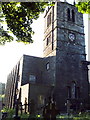
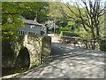

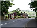
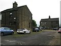
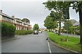
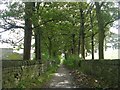
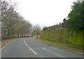
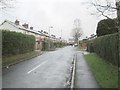
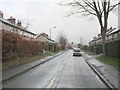
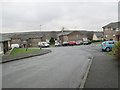
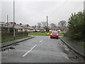
100 photos from this area
Area Information
Key information about the HX6 1BU including its size, population, and administrative classification.
- Area Type
- Postcode
- Area Size
- 1.3 hectares
- Population
- 1323
- Population Density
- 2962 people/km²
House Prices in HX6 1BU
25
Properties
£123,625
Average Sold Price
£45,000
Lowest Price
£272,500
Highest Price
Showing 25 properties
| Address | Type | Beds | Baths | Last Sale Price | Last Sale Date | |
|---|---|---|---|---|---|---|
| 31 St Peters Avenue, Sowerby, Sowerby Bridge, HX6 1BU | Semi-detached | 4 | 2 | £272,500 | Aug 2023 | |
| 25 St Peters Avenue, Sowerby, Sowerby Bridge, HX6 1BU | Bungalow | 2 | 1 | £232,500 | May 2023 | |
| 27 St Peters Avenue, Sowerby, Sowerby Bridge, HX6 1BU | house | - | - | £215,000 | Feb 2023 | |
| 40 St Peters Avenue, Sowerby, Sowerby Bridge, HX6 1BU | house | 2 | - | £136,500 | Mar 2021 | |
| 52 St Peters Avenue, Sowerby, Sowerby Bridge, HX6 1BU | house | - | - | £80,000 | Jun 2017 | |
| 15 St Peters Avenue, Sowerby, Sowerby Bridge, HX6 1BU | Bungalow | - | - | £125,000 | Sep 2015 | |
| 34 St Peters Avenue, Sowerby, Sowerby Bridge, HX6 1BU | house | 2 | 1 | £45,000 | Jun 2015 | |
| 13 St Peters Avenue, Sowerby, Sowerby Bridge, HX6 1BU | Bungalow | - | - | £100,000 | Nov 2010 | |
| 44 St Peters Avenue, Sowerby, Sowerby Bridge, HX6 1BU | Terraced | - | - | £50,000 | Dec 2009 | |
| 11 St Peters Avenue, Sowerby, Sowerby Bridge, HX6 1BU | Semi-detached | - | - | £45,000 | Feb 2008 |
Page 1 of 3
Energy Efficiency in HX6 1BU
Amenities
Schools
| Rank | School | Type | Entry gender | Ages |
|---|
Explore more schools in this area
Go to Schools tabDemographics
Household Size
One person
most common
Accommodation Type
Houses
most common
Tenure
45
majority
Ethnic Group
White
most common
Religion
N/A
most common
Household Composition
N/A
most common
Age
47
median
Adults (30-64 years)
most common
Household Deprivation
N/A
with no deprivation
NS-SEC
19
in Lower managerial occupations
Explore more demographic insights in this area
Go to Demographics tabPlanning
Planning Constraints
- Flood RiskPremium
- Ramsar Wetland SitesPremium
- Area of Outstanding Natural BeautyPremium
- Protected Nature ReservePremium
- Protected WoodlandPremium