Area Overview for HX5 0QJ
Photos of HX5 0QJ
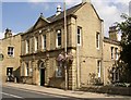
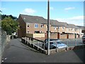
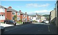
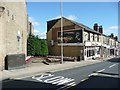
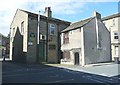
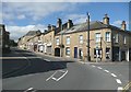
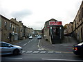
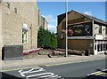
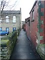
100 photos from this area
Area Information
Key information about the HX5 0QJ including its size, population, and administrative classification.
- Area Type
- Postcode
- Area Size
- 3537 m²
- Population
- 1865
- Population Density
- 1252 people/km²
House Prices in HX5 0QJ
9
Properties
£179,438
Average Sold Price
£57,000
Lowest Price
£323,500
Highest Price
Showing 9 properties
| Address | Type | Beds | Baths | Last Sale Price | Last Sale Date | |
|---|---|---|---|---|---|---|
| 2 Napier Road, Elland, HX5 0QJ | Semi-detached | 3 | 1 | £280,000 | Jul 2023 | |
| Napier House, 13 Napier Road, Elland, HX5 0QJ | house | - | - | £323,500 | Jun 2022 | |
| 9 Napier Road, Elland, HX5 0QJ | Semi-detached | 4 | 2 | £190,000 | Aug 2018 | |
| 14 Napier Road, Elland, HX5 0QJ | Semi-detached | 3 | 2 | £160,000 | Dec 2015 | |
| 11 Napier Road, Elland, HX5 0QJ | house | 3 | - | £169,500 | Apr 2013 | |
| 16 Napier Road, Elland, HX5 0QJ | house | - | - | £177,000 | Oct 2007 | |
| 12 Napier Road, Elland, HX5 0QJ | Semi-detached | - | - | £57,000 | Jun 1997 | |
| 4 Napier Road, Elland, HX5 0QJ | house | - | - | £78,500 | Sep 1995 | |
| 10 Napier Road, Elland, HX5 0QJ | Semi-detached | - | - | - | - |
Energy Efficiency in HX5 0QJ
Amenities
Schools
| Rank | School | Type | Entry gender | Ages |
|---|
Explore more schools in this area
Go to Schools tabDemographics
Household Size
Two person
most common
Accommodation Type
Houses
most common
Tenure
84
majority
Ethnic Group
White
most common
Religion
N/A
most common
Household Composition
N/A
most common
Age
47
median
Adults (30-64 years)
most common
Household Deprivation
N/A
with no deprivation
NS-SEC
40
in Lower managerial occupations
Explore more demographic insights in this area
Go to Demographics tabPlanning
Planning Constraints
- Flood RiskPremium
- Ramsar Wetland SitesPremium
- Area of Outstanding Natural BeautyPremium
- Protected Nature ReservePremium
- Protected WoodlandPremium