Area Overview for HX5 0PF
Photos of HX5 0PF
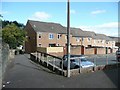
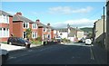
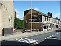
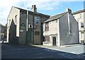
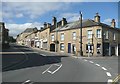
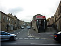
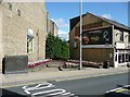
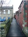
100 photos from this area
Area Information
Key information about the HX5 0PF including its size, population, and administrative classification.
- Area Type
- Postcode
- Area Size
- 1.1 hectares
- Population
- 1865
- Population Density
- 1252 people/km²
House Prices in HX5 0PF
38
Properties
£98,882
Average Sold Price
£342
Lowest Price
£175,000
Highest Price
Showing 38 properties
| Address | Type | Beds | Baths | Last Sale Price | Last Sale Date | |
|---|---|---|---|---|---|---|
| 47 Dunce Park Close, Elland, HX5 0PF | house | - | - | £117,000 | Apr 2024 | |
| 55 Dunce Park Close, Elland, HX5 0PF | Terraced | 2 | 1 | £130,500 | Jan 2024 | |
| 26 Dunce Park Close, Elland, HX5 0PF | house | - | - | £130,500 | Feb 2023 | |
| 12 Dunce Park Close, Elland, HX5 0PF | Bungalow | - | - | £342 | Nov 2022 | |
| 33 Dunce Park Close, Elland, HX5 0PF | house | - | - | £130,000 | Sep 2019 | |
| 20 Dunce Park Close, Elland, HX5 0PF | Terraced | 2 | 1 | £116,000 | Oct 2017 | |
| 14 Dunce Park Close, Elland, HX5 0PF | Terraced | 2 | 1 | £106,000 | Sep 2017 | |
| 39 Dunce Park Close, Elland, HX5 0PF | house | - | - | £114,000 | Jul 2017 | |
| 17 Dunce Park Close, Elland, HX5 0PF | Bungalow | - | - | £145,000 | Jun 2017 | |
| 9 Dunce Park Close, Elland, HX5 0PF | Detached | 3 | 1 | £141,500 | Mar 2016 |
Page 1 of 4
Energy Efficiency in HX5 0PF
Amenities
Schools
| Rank | School | Type | Entry gender | Ages |
|---|
Explore more schools in this area
Go to Schools tabDemographics
Household Size
Two person
most common
Accommodation Type
Houses
most common
Tenure
84
majority
Ethnic Group
White
most common
Religion
N/A
most common
Household Composition
N/A
most common
Age
47
median
Adults (30-64 years)
most common
Household Deprivation
N/A
with no deprivation
NS-SEC
40
in Lower managerial occupations
Explore more demographic insights in this area
Go to Demographics tabPlanning
Planning Constraints
- Flood RiskPremium
- Ramsar Wetland SitesPremium
- Area of Outstanding Natural BeautyPremium
- Protected Nature ReservePremium
- Protected WoodlandPremium