Area Overview for HX5 0NL
Photos of HX5 0NL
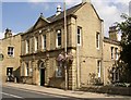
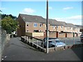
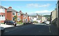
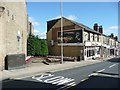
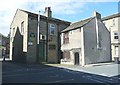
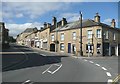
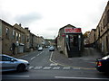
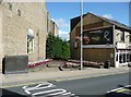
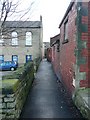
100 photos from this area
Area Information
Key information about the HX5 0NL including its size, population, and administrative classification.
- Area Type
- Postcode
- Area Size
- 7290 m²
- Population
- 1446
- Population Density
- 7400 people/km²
House Prices in HX5 0NL
34
Properties
£131,925
Average Sold Price
£48,950
Lowest Price
£225,000
Highest Price
Showing 34 properties
| Address | Type | Beds | Baths | Last Sale Price | Last Sale Date | |
|---|---|---|---|---|---|---|
| 28 Waverley Road, Elland, HX5 0NL | Terraced | 3 | 1 | £182,000 | Jul 2024 | |
| 6 Waverley Road, Elland, HX5 0NL | Terraced | 3 | 1 | £195,000 | Feb 2024 | |
| 7 Waverley Road, Elland, HX5 0NL | Terraced | 4 | 1 | £180,000 | Jan 2023 | |
| 4 Waverley Road, Elland, HX5 0NL | house | - | - | £225,000 | Dec 2021 | |
| 9 Waverley Road, Elland, HX5 0NL | Terraced | 4 | 1 | £190,000 | Jul 2021 | |
| 8 Waverley Road, Elland, HX5 0NL | Terraced | 5 | 2 | £180,000 | Aug 2020 | |
| 17 Waverley Road, Elland, HX5 0NL | house | - | - | £136,000 | Jun 2016 | |
| 25 Waverley Road, Elland, HX5 0NL | Terraced | 3 | 1 | £135,000 | Mar 2015 | |
| 19 Waverley Road, Elland, HX5 0NL | Terraced | 3 | 1 | £133,000 | Aug 2013 | |
| 31 Waverley Road, Elland, HX5 0NL | Terraced | 3 | 1 | £159,950 | Feb 2008 |
Page 1 of 4
Energy Efficiency in HX5 0NL
Amenities
Schools
| Rank | School | Type | Entry gender | Ages |
|---|
Explore more schools in this area
Go to Schools tabDemographics
Household Size
Family (3-5 people)
most common
Accommodation Type
Houses
most common
Tenure
65
majority
Ethnic Group
White
most common
Religion
N/A
most common
Household Composition
N/A
most common
Age
47
median
Adults (30-64 years)
most common
Household Deprivation
N/A
with no deprivation
NS-SEC
26
in Lower managerial occupations
Explore more demographic insights in this area
Go to Demographics tabPlanning
Planning Constraints
- Flood RiskPremium
- Ramsar Wetland SitesPremium
- Area of Outstanding Natural BeautyPremium
- Protected Nature ReservePremium
- Protected WoodlandPremium