Area Overview for HX5 0LF
Photos of HX5 0LF
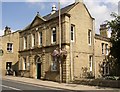
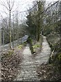
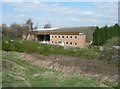
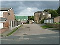
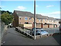
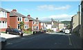
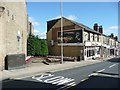
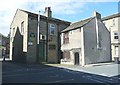
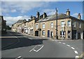
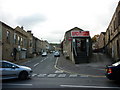
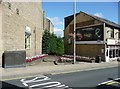

100 photos from this area
Area Information
Key information about the HX5 0LF including its size, population, and administrative classification.
- Area Type
- Postcode
- Area Size
- 2067 m²
- Population
- 1446
- Population Density
- 7400 people/km²
House Prices in HX5 0LF
17
Properties
£62,314
Average Sold Price
£15,000
Lowest Price
£120,000
Highest Price
Showing 17 properties
| Address | Type | Beds | Baths | Last Sale Price | Last Sale Date | |
|---|---|---|---|---|---|---|
| 119 Oak Street, Elland, HX5 0LF | Terraced | 3 | 2 | £120,000 | Aug 2023 | |
| 129 Oak Street, Elland, HX5 0LF | house | 2 | 1 | £75,000 | Oct 2020 | |
| 100 Oak Street, Elland, HX5 0LF | house | - | - | £90,000 | May 2017 | |
| 123 Oak Street, Elland, HX5 0LF | Terraced | 2 | 1 | £55,000 | Jan 2015 | |
| 106 Oak Street, Elland, HX5 0LF | Terraced | - | - | £59,950 | Nov 2004 | |
| 125 Oak Street, Elland, HX5 0LF | house | 2 | - | £21,250 | Oct 1997 | |
| 108 Oak Street, Elland, HX5 0LF | house | - | - | £15,000 | Apr 1995 | |
| Former 127, Oak Street, Elland, HX5 0LF | Terraced | - | - | - | - | |
| Former Dwelling Rear Of 10, Charles Street, Elland, HX5 0LF | Terraced | - | - | - | - | |
| 110 OAK STREET, Elland, HX5 0LF | Detached | - | - | - | - |
Page 1 of 2
Energy Efficiency in HX5 0LF
Amenities
Schools
| Rank | School | Type | Entry gender | Ages |
|---|
Explore more schools in this area
Go to Schools tabDemographics
Household Size
Family (3-5 people)
most common
Accommodation Type
Houses
most common
Tenure
65
majority
Ethnic Group
White
most common
Religion
N/A
most common
Household Composition
N/A
most common
Age
47
median
Adults (30-64 years)
most common
Household Deprivation
N/A
with no deprivation
NS-SEC
26
in Lower managerial occupations
Explore more demographic insights in this area
Go to Demographics tabPlanning
Planning Constraints
- Flood RiskPremium
- Ramsar Wetland SitesPremium
- Area of Outstanding Natural BeautyPremium
- Protected Nature ReservePremium
- Protected WoodlandPremium